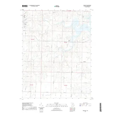
2017 Map of Paris East
USGS Topo · Published 2017About this map
The county seat of Paris anchors the northwest corner of this landscape, where the Middle Fork Salt River begins its eastward flow. The terrain is defined by the convergence of the Middle Fork and the Elk Fork Salt River, eventually feeding into the western reaches of Mark Twain Lake. This network of waterways, including Jordan Br and Brush Cr, dictated the placement of small rural communities and family landmarks throughout the nineteenth and twentieth centuries.
Find a feature on this map
57 named features on this map. Tap any name to fly to it.
Don’t see what you’re looking for? This feature index may not catch every label — zoom into the map to look around manually.
Map Details
Editions of this 2017 Paris East Map
This is the sole edition of this map. No revisions or reprints were ever made.
Other maps of this area

1890 · Mexico
USGS Topo · 1:125,000

1890 · Moberly
USGS Topo · 1:125,000

1903 · Palmyra
USGS Topo · 1:125,000

1945 · Florida
USGS Topo · 1:62,500

1948 · Quincy
USGS Topo · 1:250,000

1953 · Moberly
USGS Topo · 1:250,000

1954 · Moberly
USGS Topo · 1:250,000

1956 · Quincy
USGS Topo · 1:250,000

1957 · Moberly
USGS Topo · 1:250,000

1960 · Moberly
USGS Topo · 1:250,000