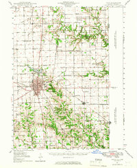
1947 Map of Paris
USGS Topo · Published 1967About this map
The town of Paris serves as the focal point of this east-central Illinois landscape, where the New York Central and Pennsylvania railroads intersect. Beyond the municipal limits, the 1940s landscape is densely peppered with neighborhood institutions, from the St Aloysius Ch and Ashland Chapel to a remarkable concentration of rural schoolhouses like Fort Sumter Sch, Grand Success Sch, and Mark Sch. The Old Indian Boundary Line cuts diagonally across the townships, a remnant of early frontier surveying that still shaped property lines and road orientations over a century later.
Find a feature on this map
75 named features on this map. Tap any name to fly to it.
Don’t see what you’re looking for? This feature index may not catch every label — zoom into the map to look around manually.
Map Details
Editions of this 1947 Paris Map
This is the sole edition of this map. No revisions or reprints were ever made.
Other maps of this area
1932 · Marshall
USGS Topo · 1:62,500
1936 · Casey
USGS Topo · 1:48,000
1937 · Marshall
USGS Topo · 1:62,500
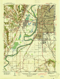
1941 · Terre Haute
USGS Topo · 1:24,000
1942 · Dennison
USGS Topo · 1:24,000
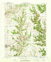
1942 · Casey
USGS Topo · 1:62,500
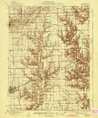
1943 · Casey
USGS Topo · 1:62,500
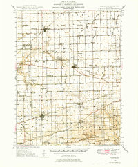
1946 · Kansas
USGS Topo · 1:62,500
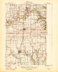
1947 · Ridge Farm
USGS Topo · 1:62,500
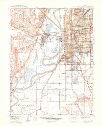
1948 · Terre Haute
USGS Topo · 1:24,000