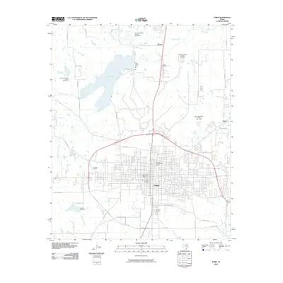
2010 Map of Paris
USGS Topo · Published 2010About this map
Paris serves as the regional anchor of Lamar County, showing a well-defined grid system enclosed by the massive perimeter of State Loop 286. This 2010 survey highlights the preservation of the city's identity through the Paris Commercial Historic District, the Church Street Historic District, and the Pine Bluff-Fitzhugh Historic District. These areas reflect the architectural and social heritage of the community at the start of the twenty-first century.
Find a feature on this map
63 named features on this map. Tap any name to fly to it.
Don’t see what you’re looking for? This feature index may not catch every label — zoom into the map to look around manually.
Map Details
Editions of this 2010 Paris Map
This is the sole edition of this map. No revisions or reprints were ever made.
Other maps of this area

1903 · Paris
USGS Topo · 1:125,000

1948 · Grant
USGS Topo · 1:62,500

1948 · Paris
USGS Topo · 1:62,500

1949 · Grant
USGS Topo · 1:62,500

1949 · Paris
USGS Topo · 1:62,500

1951 · Slate Shoals
USGS Topo · 1:24,000

1953 · Texarkana
USGS Topo · 1:250,000

1956 · Texarkana
USGS Topo · 1:250,000

1964 · Pattonville
USGS Topo · 1:24,000

1964 · Blossom
USGS Topo · 1:24,000