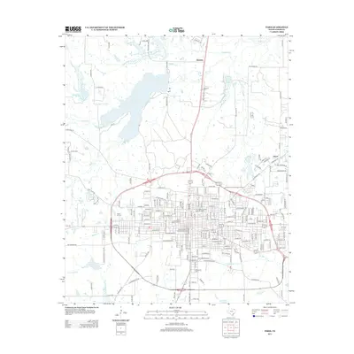
2013 Map of Paris
USGS Topo · Published 2013About this map
The Paris Commercial Historic District anchors this detailed study of the Lamar County seat, highlighting the urban core alongside the Pine Bluff-Fitzhugh Historic District and Church Street Historic District. These designated areas reveal the architectural and social development of a regional hub in northeast Texas. Beyond the city limits, the landscape transitions to the waters of Lake Crook and the rural communities of Hinckley and Givens. Genealogists will find particular value in the documentation of several local burial grounds, including Evergreen Cem, Cedar Hill Cem, and Restlawn Cem. The map also traces the winding courses of Pine Cr and Big Sandy Cr, illustrating the drainage patterns that shaped the area's agricultural history and the placement of the Paris Jr Coll campus.
Find a feature on this map
190 named features on this map. Tap any name to fly to it.
Don’t see what you’re looking for? This feature index may not catch every label — zoom into the map to look around manually.
Map Details
Editions of this 2013 Paris Map
This is the sole edition of this map. No revisions or reprints were ever made.
Other maps of this area

1903 · Paris
USGS Topo · 1:125,000

1948 · Grant
USGS Topo · 1:62,500

1948 · Paris
USGS Topo · 1:62,500

1949 · Grant
USGS Topo · 1:62,500

1949 · Paris
USGS Topo · 1:62,500

1951 · Slate Shoals
USGS Topo · 1:24,000

1953 · Texarkana
USGS Topo · 1:250,000

1956 · Texarkana
USGS Topo · 1:250,000

1964 · Pattonville
USGS Topo · 1:24,000

1964 · Blossom
USGS Topo · 1:24,000