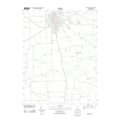
2012 Map of Paris South
USGS Topo · Published 2012About this map
The city of Paris sits at the northern edge of this landscape, its urban grid defined by streets like E Court St and Maple Ave. South of the city center, the terrain opens into a rolling agricultural expanse drained by the E Fork and Clear Cr. This rural stretch is dotted with a high density of small family and community burial grounds, including Edgar Cem, Redmon Cem, Cassady Cem, and Swango Cem, providing significant geographic markers for genealogical research in this part of Edgar County. The settlement of Nevins remains a distinct point in the southeast, while aviation is represented by Stewart Airport just south of the main city limits. Water features like Eads Lake and Gumms Lake break the rectilinear pattern of the section lines and farm roads that dominate the countryside.
Find a feature on this map
101 named features on this map. Tap any name to fly to it.
Don’t see what you’re looking for? This feature index may not catch every label — zoom into the map to look around manually.
Map Details
Editions of this 2012 Paris South Map
This is the sole edition of this map. No revisions or reprints were ever made.
Other maps of this area

1932 · Marshall
USGS Topo · 1:62,500

1936 · Casey
USGS Topo · 1:48,000

1937 · Marshall
USGS Topo · 1:62,500

1942 · Dennison
USGS Topo · 1:24,000

1942 · Casey
USGS Topo · 1:62,500

1943 · Casey
USGS Topo · 1:62,500

1946 · Kansas
USGS Topo · 1:62,500

1947 · Paris
USGS Topo · 1:62,500

1949 · Kansas
USGS Topo · 1:62,500

1949 · Paris
USGS Topo · 1:62,500