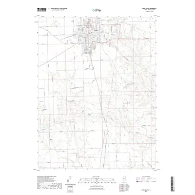
2021 Map of Paris South
USGS Topo · Published 2021About this map
The southern outskirts of Paris and the surrounding farmland of Edgar County are documented here in high detail. This agricultural landscape is characterized by a dense network of family and community burial grounds, including Edgar Cem, Cassady Cem, and New Hope Cem, reflecting the deep-rooted settlement history of the region. The terrain is defined by the drainage basins of Sugar Creek and Clear Creek, with the small community of Nevins situated in the southeastern corner. The map illustrates a grid-like system of rural roads, such as E 600th Rd and E Terre Haute Rd, which intersect with various waterways and small lakes like Eads Lake and Lawrence See Lake. This survey provides a precise account of property divisions and rural infrastructure at the start of the 2020s.
Find a feature on this map
120 named features on this map. Tap any name to fly to it.
Don’t see what you’re looking for? This feature index may not catch every label — zoom into the map to look around manually.
Map Details
Editions of this 2021 Paris South Map
This is the sole edition of this map. No revisions or reprints were ever made.
Other maps of this area

1932 · Marshall
USGS Topo · 1:62,500

1936 · Casey
USGS Topo · 1:48,000

1937 · Marshall
USGS Topo · 1:62,500

1942 · Dennison
USGS Topo · 1:24,000

1942 · Casey
USGS Topo · 1:62,500

1943 · Casey
USGS Topo · 1:62,500

1946 · Kansas
USGS Topo · 1:62,500

1947 · Paris
USGS Topo · 1:62,500

1949 · Kansas
USGS Topo · 1:62,500

1949 · Paris
USGS Topo · 1:62,500