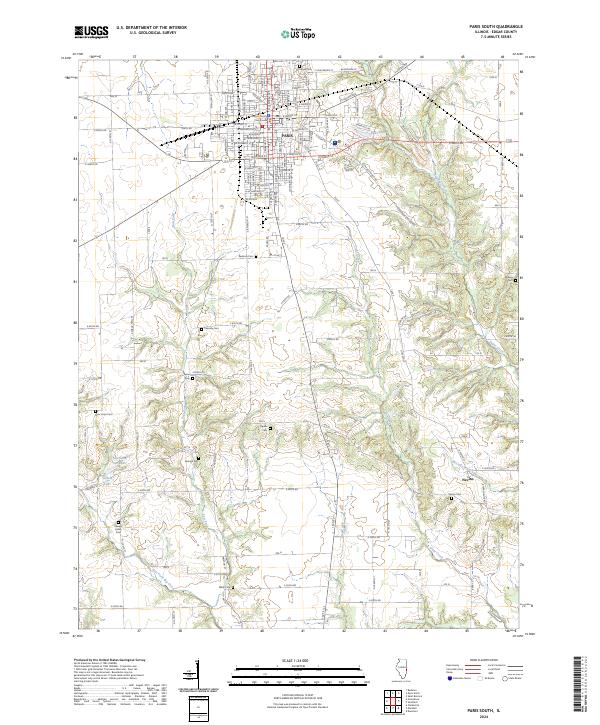
2024 Map of Paris South
USGS Topo · Published 2024About this map
The Edgar County Courthouse anchors the northern portion of this survey, marking the civic heart of Paris amidst its grid of streets like W Court St and E Jasper St. South of the city, the landscape shifts into the drainages of Sugar Creek and Clear Creek, where the terrain becomes increasingly dissected by small branches and creek forks. The area is notable for its high density of family and community burial grounds, including the Redmon Cem, Cassady Cem, and Simms Cem, which are scattered among the agricultural sections between the larger settlements.
Find a feature on this map
94 named features on this map. Tap any name to fly to it.
Don’t see what you’re looking for? This feature index may not catch every label — zoom into the map to look around manually.
Map Details
Editions of this 2024 Paris South Map
This is the sole edition of this map. No revisions or reprints were ever made.
Other maps of this area

1932 · Marshall
USGS Topo · 1:62,500

1936 · Casey
USGS Topo · 1:48,000

1937 · Marshall
USGS Topo · 1:62,500

1942 · Dennison
USGS Topo · 1:24,000

1942 · Casey
USGS Topo · 1:62,500

1943 · Casey
USGS Topo · 1:62,500

1946 · Kansas
USGS Topo · 1:62,500

1947 · Paris
USGS Topo · 1:62,500

1949 · Kansas
USGS Topo · 1:62,500

1949 · Paris
USGS Topo · 1:62,500