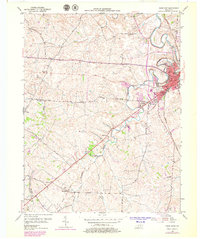
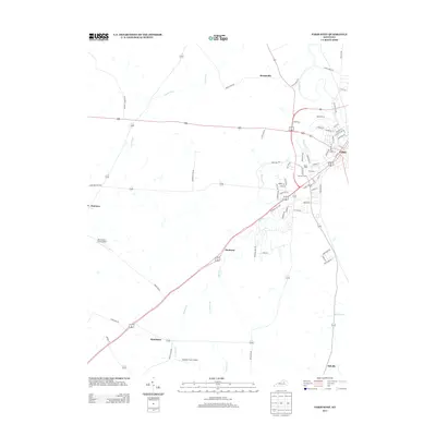
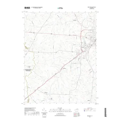
1954 Map of Paris West
USGS Topo · Published 1979About this map
The confluence of Stoner Creek and Houston Creek anchors the eastern edge of this Bourbon County landscape, where the city of Paris serves as the regional hub. During the mid-twentieth century, the area maintained a balance between its urban center and the surrounding agricultural countryside. Transportation networks define the terrain, from the active Louisville and Nashville Railroad to an Old Railroad Grade and numerous rural thoroughfares like Hawkins Cummins Road and Lexington Road.
Find a feature on this map
36 named features on this map. Tap any name to fly to it.
Don’t see what you’re looking for? This feature index may not catch every label — zoom into the map to look around manually.
Map Details
Editions of this 1954 Paris West Map
4 editions found
Historical Maps of Lexington Through Time
12 maps found
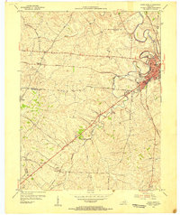
1952 Paris East
Bourbon County, KY
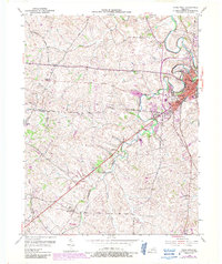
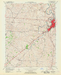
1954 Paris West
Bourbon County, KY
2010 Paris East
Bourbon County, KY
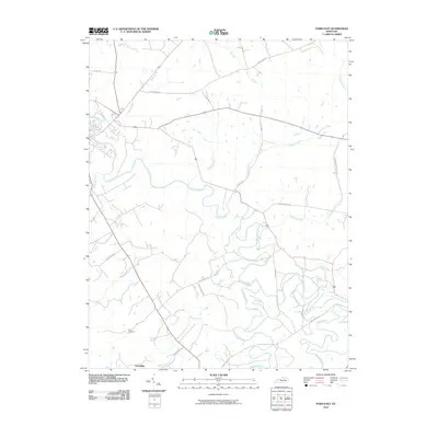
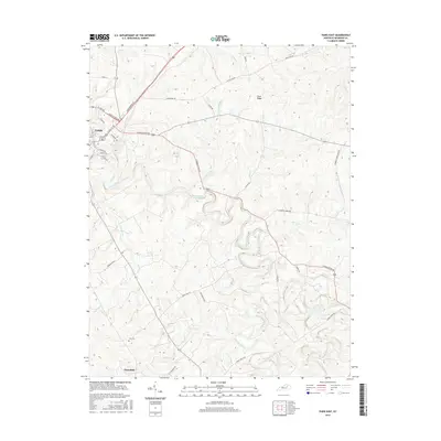
2010 Paris West
Bourbon County, KY
2013 Paris East
Bourbon County, KY
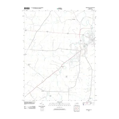
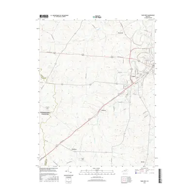
2013 Paris West
Bourbon County, KY
2016 Paris East
Bourbon County, KY
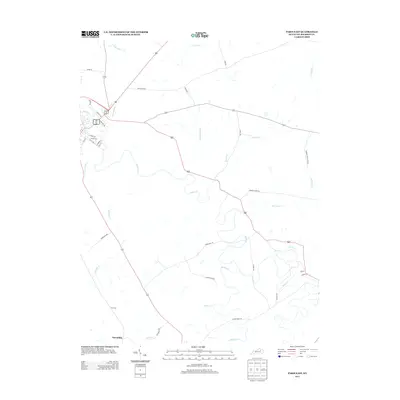
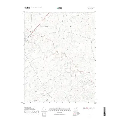
2016 Paris West
Bourbon County, KY
2019 Paris East
Bourbon County, KY
2019 Paris West
Bourbon County, KY
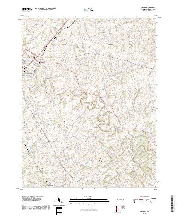
2022 Paris East
Bourbon County, KY
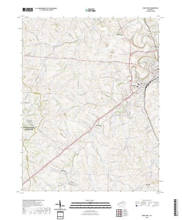
2022 Paris West
Bourbon County, KY