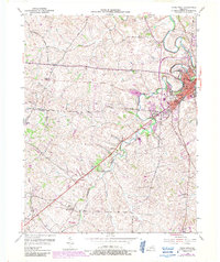
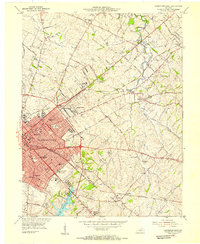
1954 Map of Paris West
USGS Topo · Published 1987About this map
Paris serves as the focal point of this Bluegrass region survey, situated at the confluence of several key waterways and transportation routes. The landscape is defined by the winding paths of Stoner Creek and Houston Creek, which carve through the undulating terrain of Bourbon Co. Beyond the primary settlement, the map reveals a network of smaller rural communities and rail-side stops like Elizabeth Station, Brentsville, and Monterey.
Find a feature on this map
38 named features on this map. Tap any name to fly to it.
Don’t see what you’re looking for? This feature index may not catch every label — zoom into the map to look around manually.
Map Details
Editions of this 1954 Paris West Map
4 editions found
Other maps of this area

1927 · Lexington
USGS Topo · 1:48,000

1929 · Cynthiana
USGS Topo · 1:48,000

1929 · Lexington
USGS Topo · 1:62,500

1934 · Cynthiana
USGS Topo · 1:62,500

1950 · Lexington East
USGS Topo · 1:24,000

1952 · Paris East
USGS Topo · 1:24,000

1952 · Clintonville
USGS Topo · 1:24,000

1952 · Austerlitz
USGS Topo · 1:24,000

1953 · Millersburg
USGS Topo · 1:24,000
1954 · Lexington East
USGS Topo · 1:24,000