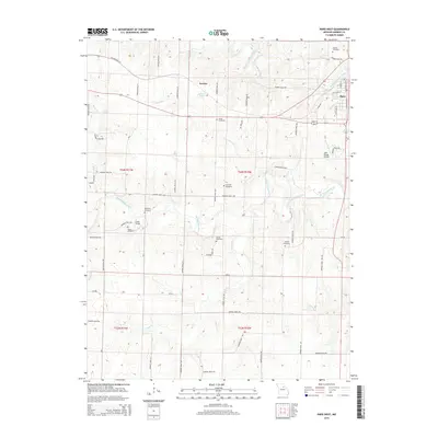
2014 Map of Paris West
USGS Topo · Published 2014About this map
The Middle Fork Salt River and Elk Fork Salt River define the rolling landscape of Monroe County in this 2014 survey. At the eastern edge of the quadrangle, the city of Paris serves as a focal point, with its residential streets including W Locust St and N Washington St extending toward the riverbanks. The surrounding rural townships are marked by a high density of ancestral burial grounds, including Boomer Cemetery, Shiloh Cemetery, and Youngs Cemetery, which provide significant value for genealogical research in this part of Missouri.
Find a feature on this map
62 named features on this map. Tap any name to fly to it.
Don’t see what you’re looking for? This feature index may not catch every label — zoom into the map to look around manually.
Map Details
Editions of this 2014 Paris West Map
This is the sole edition of this map. No revisions or reprints were ever made.
Other maps of this area

1890 · Mexico
USGS Topo · 1:125,000

1890 · Moberly
USGS Topo · 1:125,000

1903 · Palmyra
USGS Topo · 1:125,000

1945 · Florida
USGS Topo · 1:62,500

1948 · Quincy
USGS Topo · 1:250,000

1953 · Moberly
USGS Topo · 1:250,000

1954 · Moberly
USGS Topo · 1:250,000

1956 · Quincy
USGS Topo · 1:250,000

1957 · Moberly
USGS Topo · 1:250,000

1958 · Tulip
USGS Topo · 1:24,000