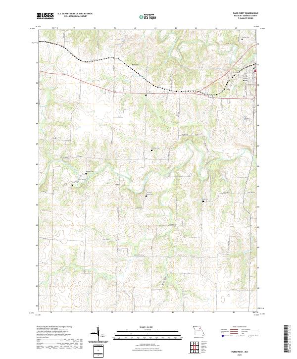
2021 Map of Paris West
USGS Topo · Published 2021About this map
The Elk Fork Salt River and Middle Fork Salt River converge in this section of Monroe County, creating a landscape defined by winding waterways and creek-fed bottomlands. The settlement of Paris anchors the eastern edge of the sheet, while the rural hamlet of Fowkes sits near Bakers Pond to the northwest. This area is notably dense with small family and community burial grounds, providing a significant resource for genealogical research. Documented sites include Boomer Cem, Shiloh Cem, and Union Cem, many of which are located near the historic Union Bridge. The local transport network consists of a grid of Monroe County roads and state highways that cross over various tributaries like Bee Cr and Payne Br, reflecting the agricultural character of north-central Missouri.
Find a feature on this map
68 named features on this map. Tap any name to fly to it.
Don’t see what you’re looking for? This feature index may not catch every label — zoom into the map to look around manually.
Map Details
Editions of this 2021 Paris West Map
This is the sole edition of this map. No revisions or reprints were ever made.
Other maps of this area

1890 · Mexico
USGS Topo · 1:125,000

1890 · Moberly
USGS Topo · 1:125,000

1903 · Palmyra
USGS Topo · 1:125,000

1945 · Florida
USGS Topo · 1:62,500

1948 · Quincy
USGS Topo · 1:250,000

1953 · Moberly
USGS Topo · 1:250,000

1954 · Moberly
USGS Topo · 1:250,000

1956 · Quincy
USGS Topo · 1:250,000

1957 · Moberly
USGS Topo · 1:250,000

1958 · Tulip
USGS Topo · 1:24,000