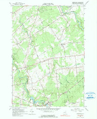
1964 Map of Parishville
USGS Topo · Published 1990About this map
St Regis River and its western branch define the topography of this St. Lawrence County landscape, where early hydroelectric development is evident at the Allen Falls Reservoir. The village of Parishville serves as a primary hub, supported by the Parishville-Hopkinton Sch and several local burying grounds including Fairview Cem and Hillcrest Cem. The map illustrates a rural economy balanced between natural resource management in St Lawrence State Forest No 2 and small-scale industry represented by various Gravel Pits and a Powerplant near Allen Falls.
Find a feature on this map
52 named features on this map. Tap any name to fly to it.
Don’t see what you’re looking for? This feature index may not catch every label — zoom into the map to look around manually.
Map Details
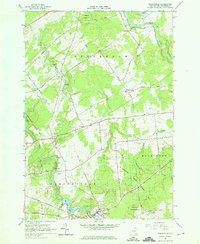
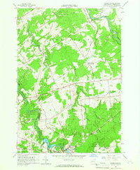
Editions of this 1964 Parishville Map
3 editions found
Other maps of this area

1906 · Massena
USGS Topo · 1:62,500

1907 · Massena
USGS Topo · 1:62,500

1908 · Potsdam
USGS Topo · 1:62,500

1915 · Moira
USGS Topo · 1:62,500

1917 · Moira
USGS Topo · 1:62,500

1919 · Nicholville
USGS Topo · 1:62,500

1921 · Nicholville
USGS Topo · 1:62,500

1942 · Long Bow
USGS Topo · 1:24,000

1942 · Norfolk
USGS Topo · 1:24,000

1943 · Potsdam
USGS Topo · 1:31,680