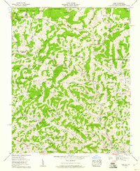
1959 Map of Park
USGS Topo · Published 1960About this map
Jefferson National Forest dominates the high elevations along the border of Virginia and North Carolina, where the Norfolk and Western railway snakes through the deep valley of Big Horse Creek. This 1959 survey provides a remarkably dense record of rural Appalachian settlement, revealing a landscape where community life was organized around small mountain churches and family cemeteries. Significant landmarks include the Nella (PO) and Apple Grove Post Office, alongside numerous spiritual centers like The Tabernacle and Sabbath Home Ch. The terrain is defined by prominent ridges such as Flat Top Ridge and Brier Ridge, with the higher peaks of Haw Orchard Mountain and Bluff Mountain framing the north. This map is an essential resource for genealogists, as it identifies dozens of family burial grounds, including the Osborne Cem, Blevins Cem, and Graybeal Cem, documenting the ancestral footprint of families near Helton and Tuckerdale.
Find a feature on this map
123 named features on this map. Tap any name to fly to it.
Don’t see what you’re looking for? This feature index may not catch every label — zoom into the map to look around manually.
Map Details
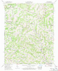
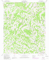
Editions of this 1959 Park Map
3 editions found
Other maps of this area

1889 · Wytheville
USGS Topo · 1:125,000

1889 · Wilkesboro
USGS Topo · 1:125,000

1891 · Abingdon
USGS Topo · 1:125,000

1891 · Wilkesboro
USGS Topo · 1:125,000

1892 · Wytheville
USGS Topo · 1:125,000

1893 · Cranberry
USGS Topo · 1:125,000

1894 · Abingdon
USGS Topo · 1:125,000

1895 · Cranberry
USGS Topo · 1:125,000

1899 · Cranberry
USGS Topo · 1:125,000

1902 · Cranberry
USGS Topo · 1:125,000