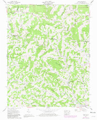
1959 Map of Park
USGS Topo · Published 1981About this map
The high ridge country straddling the North Carolina and Virginia line defines this landscape, where the Norfolk and Western rail line snakes along the banks of Big Horse Creek. The settlement pattern in the late 1950s follows the deep hollows and narrow valleys, anchored by numerous small family burial grounds like Graybeal Cem and Blevins Cem. Cultural landmarks such as The Tabernacle and the Mt Rogers Sch serve the scattered communities of Whitetop and Helton. Transportation is dominated by the winding path of the Jeb Stuart Highway through Whitetop Gap, reflecting the challenges of navigating the steep elevation changes between Haw Orchard Mountain and Big Spring Mountain. In the southern portion, the communities of Tuckerdale and Lansing mark the transition toward more established road networks and river-bottom agriculture.
Find a feature on this map
111 named features on this map. Tap any name to fly to it.
Don’t see what you’re looking for? This feature index may not catch every label — zoom into the map to look around manually.
Map Details
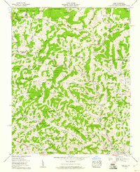
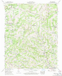
Editions of this 1959 Park Map
3 editions found
Other maps of this area

1889 · Wytheville
USGS Topo · 1:125,000

1889 · Wilkesboro
USGS Topo · 1:125,000

1891 · Abingdon
USGS Topo · 1:125,000

1891 · Wilkesboro
USGS Topo · 1:125,000

1892 · Wytheville
USGS Topo · 1:125,000

1893 · Cranberry
USGS Topo · 1:125,000

1894 · Abingdon
USGS Topo · 1:125,000

1895 · Cranberry
USGS Topo · 1:125,000

1899 · Cranberry
USGS Topo · 1:125,000

1902 · Cranberry
USGS Topo · 1:125,000