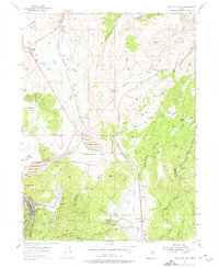
1955 Map of Park City East
USGS Topo · Published 1974About this map
Park City stands as the primary industrial hub of this mid-century survey, surrounded by the intense mining activity that defined the Wasatch Range economy. The landscape is marked by substantial operations such as the Ontario, East Ontario, and Judge Mine, while a large Tailings Pond at Richardson Flat reflects the scale of mineral processing. The Union Pacific railroad corridor provides the essential transport link, connecting Keetley and Keetley Junc to the broader regional network. High-elevation valleys like Deer Valley and Frog Valley are mapped before their later transformation, shown here alongside traditional agricultural landmarks like Clark Ranch. The terrain transitions from the open flats of Parleys Park to the complex drainages of Ross Creek and Threemile Canyon, capturing a moment when the area's identity was rooted firmly in extraction and ranching.
Find a feature on this map
51 named features on this map. Tap any name to fly to it.
Don’t see what you’re looking for? This feature index may not catch every label — zoom into the map to look around manually.
Map Details
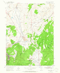
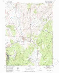
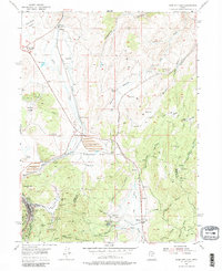
Editions of this 1955 Park City East Map
5 editions found
Other maps of this area

1885 · Salt Lake
USGS Topo · 1:250,000

1900 · Coalville
USGS Topo · 1:125,000

1903 · Coalville
USGS Topo · 1:125,000

1925 · Ft. Douglas
USGS Topo · 1:125,000

1928 · Ft. Douglas
USGS Topo · 1:125,000

1954 · Salt Lake City
USGS Topo · 1:250,000

1955 · Heber
USGS Topo · 1:24,000

1955 · Park City East
USGS Topo · 1:24,000

1955 · Brighton
USGS Topo · 1:24,000

1955 · Park City West
USGS Topo · 1:24,000