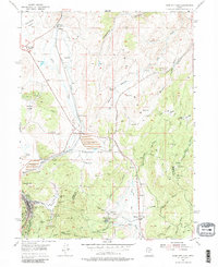
1955 Map of Park City East
USGS Topo · Published 1987About this map
Park City sits at the southwestern edge of this landscape, its industrial character defined by numerous mines, prospects, and tunnels carved into Masonic Hill and the surrounding slopes. The Union Pacific railroad provides a critical link through the region, following the path of Silver Creek south toward the mining operations and the settlement at Keetley. This mid-century survey shows a terrain marked by the intersection of resource extraction and ranching, with Richardson Flat and its nearby Tailings Pond indicating the heavy processing required for the local ores.
Find a feature on this map
50 named features on this map. Tap any name to fly to it.
Don’t see what you’re looking for? This feature index may not catch every label — zoom into the map to look around manually.
Map Details
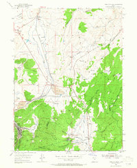
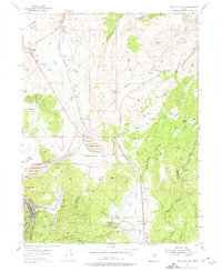
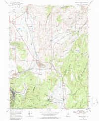
Editions of this 1955 Park City East Map
5 editions found
Other maps of this area

1885 · Salt Lake
USGS Topo · 1:250,000

1900 · Coalville
USGS Topo · 1:125,000

1903 · Coalville
USGS Topo · 1:125,000

1925 · Ft. Douglas
USGS Topo · 1:125,000

1928 · Ft. Douglas
USGS Topo · 1:125,000

1954 · Salt Lake City
USGS Topo · 1:250,000

1955 · Heber
USGS Topo · 1:24,000

1955 · Park City East
USGS Topo · 1:24,000

1955 · Brighton
USGS Topo · 1:24,000

1955 · Park City West
USGS Topo · 1:24,000