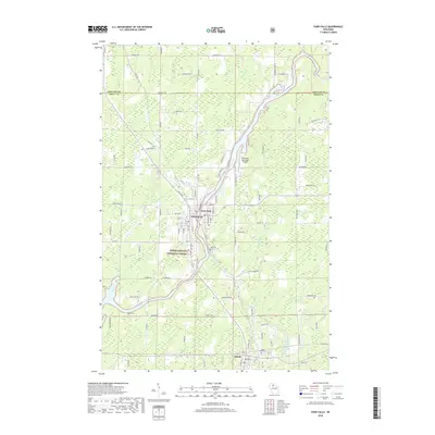
2018 Map of Park Falls
USGS Topo · Published 2018About this map
The Flambeau River winds through the heart of Price County, defining the industrial and geographic character of Park Falls. This river system, marked by white-water features like First Rapids and Second Rapids, supported the historical development of the region's timber and paper industries. The settlement of Lymantown sits adjacent to the main city center, while the protected reaches of the Chequamegon National Forest begin just to the south. Local history is anchored at Nola Cem and Forest Home Cem, which serve as permanent records of the area's early residents. The landscape is further shaped by the confluence of the South Fork Flambeau River and the presence of the Park Falls Municipal Airport, reflecting the modern infrastructure layered over a wilderness-adjacent township.
Find a feature on this map
65 named features on this map. Tap any name to fly to it.
Don’t see what you’re looking for? This feature index may not catch every label — zoom into the map to look around manually.
Map Details
Editions of this 2018 Park Falls Map
This is the sole edition of this map. No revisions or reprints were ever made.
Other maps of this area

1940 · Butternut
USGS Topo · 1:48,000

1941 · Park Falls
USGS Topo · 1:48,000

1941 · Kennedy
USGS Topo · 1:48,000

1942 · Glidden
USGS Topo · 1:48,000

1943 · Park Falls
USGS Topo · 1:48,000

1945 · Kennedy
USGS Topo · 1:48,000

1945 · Glidden
USGS Topo · 1:48,000

1947 · Park Falls
USGS Topo · 1:48,000

1947 · Butternut
USGS Topo · 1:48,000

1950 · Butternut
USGS Topo · 1:48,000