
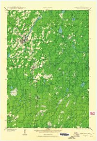
1941 Map of Park Falls
USGS Topo · Published 1952About this map
Flambeau River defines the industrial and geographic character of this Price County landscape, powering the Power Plant at Park Falls. The 1941 field examination shows a region transitioning from its logging roots into a stable network of small settlements and rural school districts. The Chicago and Northwestern and Minneapolis St Paul and Sault Ste Marie railroads intersect here, facilitating the movement of timber and goods through Fifield and Lymantown.
Find a feature on this map
81 named features on this map. Tap any name to fly to it.
Don’t see what you’re looking for? This feature index may not catch every label — zoom into the map to look around manually.
Map Details
Editions of this 1941 Park Falls Map
2 editions found
Other maps of this area

1940 · Mercer
USGS Topo · 1:48,000

1940 · Butternut
USGS Topo · 1:48,000

1941 · Pike Lake
USGS Topo · 1:48,000

1941 · Kennan
USGS Topo · 1:48,000

1941 · Kennedy
USGS Topo · 1:48,000

1941 · Phillips
USGS Topo · 1:48,000

1941 · Brantwood
USGS Topo · 1:48,000

1942 · Pike Lake
USGS Topo · 1:48,000

1942 · Glidden
USGS Topo · 1:48,000

1943 · Park Falls
USGS Topo · 1:48,000