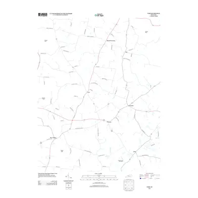
2013 Map of Park
USGS Topo · Published 2013About this map
Bear Wallow and Seymour anchor this rural Kentucky landscape, where the road network reflects generations of family settlement and agrarian life. The terrain is defined by prominent high points such as Dawson Knob and Vaughn Knob, which rise above the headwaters of Blue Spring Cr and Lemon Br. These ridges and knobs dictated the winding paths of local thoroughfares like Wallow Ridge Rd and Seymour Bear Wallow Rd.
Find a feature on this map
61 named features on this map. Tap any name to fly to it.
Don’t see what you’re looking for? This feature index may not catch every label — zoom into the map to look around manually.
Map Details
Editions of this 2013 Park Map
This is the sole edition of this map. No revisions or reprints were ever made.
Other maps of this area

1934 · Munfordville
USGS Topo · 1:48,000

1935 · Horse Cave
USGS Topo · 1:48,000

1937 · Munfordville
USGS Topo · 1:62,500

1938 · Horse Cave
USGS Topo · 1:62,500

1953 · Sulphur Well
USGS Topo · 1:24,000

1953 · Hudgins
USGS Topo · 1:24,000

1953 · Munfordville
USGS Topo · 1:24,000

1953 · Center
USGS Topo · 1:24,000
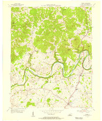
1953 · Canmer
USGS Topo · 1:24,000

1954 · Park
USGS Topo · 1:24,000