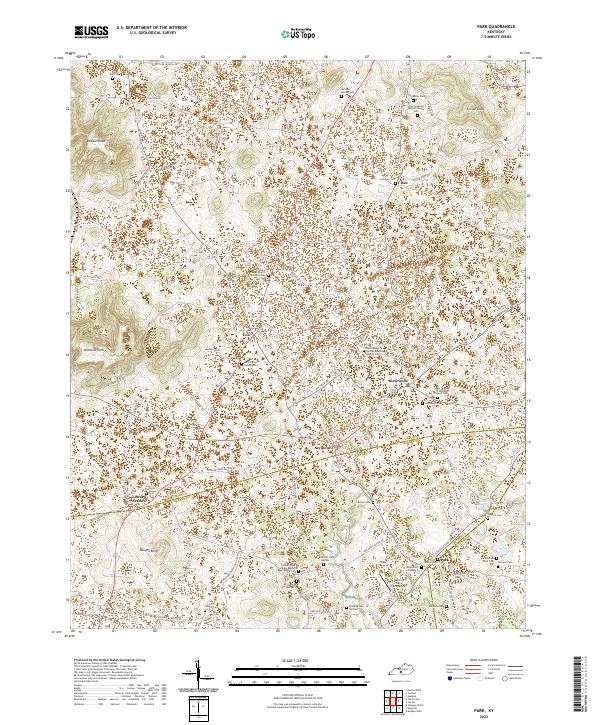
2022 Map of Park
USGS Topo · Published 2022About this map
The agricultural landscape of rural Hart County is defined by its numerous small-scale family and church burial grounds, reflecting the deep-rooted settlement patterns of the central Kentucky plateau. The map details the area between Uno and LeGrande, where the terrain is dotted with significant local landmarks such as Bear Wallow and the high point at Dawson Knob. This region is particularly notable for its dense concentration of historic cemeteries, including the Mcinteer Family Cem and the Slave Cem, which offer critical touchpoints for genealogists tracing 19th and 20th-century family lineages.
Find a feature on this map
91 named features on this map. Tap any name to fly to it.
Don’t see what you’re looking for? This feature index may not catch every label — zoom into the map to look around manually.
Map Details
Editions of this 2022 Park Map
This is the sole edition of this map. No revisions or reprints were ever made.
Other maps of this area

1934 · Munfordville
USGS Topo · 1:48,000

1935 · Horse Cave
USGS Topo · 1:48,000

1937 · Munfordville
USGS Topo · 1:62,500

1938 · Horse Cave
USGS Topo · 1:62,500

1953 · Sulphur Well
USGS Topo · 1:24,000

1953 · Hudgins
USGS Topo · 1:24,000

1953 · Munfordville
USGS Topo · 1:24,000

1953 · Center
USGS Topo · 1:24,000
1953 · Canmer
USGS Topo · 1:24,000

1954 · Park
USGS Topo · 1:24,000