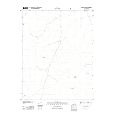
2012 Map of Park Mountain
USGS Topo · Published 2012About this map
Park Mountain and the surrounding Park Range define this high-desert landscape in Nye County, where water is the primary architect of the terrain. The presence of multiple vital water sources like Silver Spring, Tank Spring, and Cottonwood Springs suggests the historical importance of this area for transit or livestock in an otherwise arid environment. Drainage patterns are dominated by the extensive Big Fault Wash and Moonshine Creek, which carve through the land near Moonshine Peak. Further south, the map reveals the transition into deep natural depressions such as Hildebrand Canyon and Long Canyon. This 2012 survey by the U.S. Geological Survey and U.S. Forest Service captures the modern road network, including the Moonshine Crk route, providing a precise look at the topographical features and named landmarks like Crested Wheat Ridge.
Find a feature on this map
12 named features on this map. Tap any name to fly to it.
Don’t see what you’re looking for? This feature index may not catch every label — zoom into the map to look around manually.
Map Details
Editions of this 2012 Park Mountain Map
This is the sole edition of this map. No revisions or reprints were ever made.
Other maps of this area

1926 · Roberts Mountains
USGS Topo · 1:250,000

1929 · Roberts Mountains
USGS Topo · 1:250,000

1955 · Millett
USGS Topo · 1:250,000

1956 · Cockalorum Wash
USGS Topo · 1:62,500

1956 · Horse Heaven Mtn
USGS Topo · 1:62,500

1956 · Tonopah
USGS Topo · 1:250,000

1959 · Tonopah
USGS Topo · 1:250,000

1959 · Millett
USGS Topo · 1:250,000

1962 · Tonopah
USGS Topo · 1:250,000

1968 · Pritchards Station
USGS Topo · 1:62,500