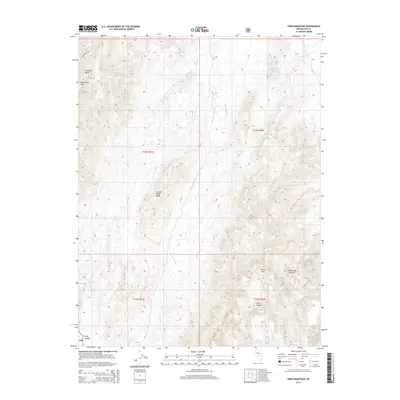
2014 Map of Park Mountain
USGS Topo · Published 2014About this map
Park Mtn and the northern reaches of the Park Range anchor this high-elevation terrain in Nye County. The landscape is defined by the steep relief of the Antelope Range to the northwest, where Moonshine Peak rises above the drainage of Moonshine Cr. Water sources are critical markers in this arid environment, with Silver Spring, Cottonwood Springs, and Tank Spring situated along the slopes and canyon floors. The presence of these named springs often indicates historically significant stopping points or livestock watering sites in the Great Basin. Deep incisions like Hildebrand Canyon and Long Canyon cut through the limestone and volcanic layers, while the elongated Big Fault Wash tracks the tectonic character of the region. This 2014 survey captures a sparsely populated territory where the natural topography and remote water sources dictate the land's utility.
Find a feature on this map
16 named features on this map. Tap any name to fly to it.
Don’t see what you’re looking for? This feature index may not catch every label — zoom into the map to look around manually.
Map Details
Editions of this 2014 Park Mountain Map
This is the sole edition of this map. No revisions or reprints were ever made.
Other maps of this area

1926 · Roberts Mountains
USGS Topo · 1:250,000

1929 · Roberts Mountains
USGS Topo · 1:250,000

1955 · Millett
USGS Topo · 1:250,000

1956 · Cockalorum Wash
USGS Topo · 1:62,500

1956 · Horse Heaven Mtn
USGS Topo · 1:62,500

1956 · Tonopah
USGS Topo · 1:250,000

1959 · Tonopah
USGS Topo · 1:250,000

1959 · Millett
USGS Topo · 1:250,000

1962 · Tonopah
USGS Topo · 1:250,000

1968 · Pritchards Station
USGS Topo · 1:62,500