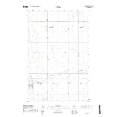
2017 Map of Park River
USGS Topo · Published 2017About this map
Park River serves as the primary hub of this Walsh County landscape, situated where the S Br Park River meanders through the fertile plains of northeastern North Dakota. The town's grid is detailed with street-level precision, including Railroad Ave W and Prospect Ave N, reflecting its history as a rail-connected agricultural center. Surrounding the settlement, a series of cemeteries including Calvary Cem, Memorial Park Cem, and the more distant Kensington Cem provide essential data points for genealogical research and local history. The land outside the city limits is defined by the Public Land Survey System, with the Walser Strip and the winding course of the Middle Br Park River breaking the regularity of the section lines and township boundaries like t157n r55w.
Find a feature on this map
37 named features on this map. Tap any name to fly to it.
Don’t see what you’re looking for? This feature index may not catch every label — zoom into the map to look around manually.
Map Details
Editions of this 2017 Park River Map
This is the sole edition of this map. No revisions or reprints were ever made.
Other maps of this area

1944 · Crystal
USGS Topo · 1:62,500

1952 · Thief River Falls
USGS Topo · 1:250,000

1956 · Thief River Falls
USGS Topo · 1:250,000

1957 · Thief River Falls
USGS Topo · 1:250,000

1963 · Crystal SE
USGS Topo · 1:24,000

1963 · Crystal
USGS Topo · 1:24,000

1963 · Edinburg
USGS Topo · 1:24,000

1963 · Pleasant Valley
USGS Topo · 1:24,000

1963 · Gardar
USGS Topo · 1:24,000

1963 · Pisek
USGS Topo · 1:24,000