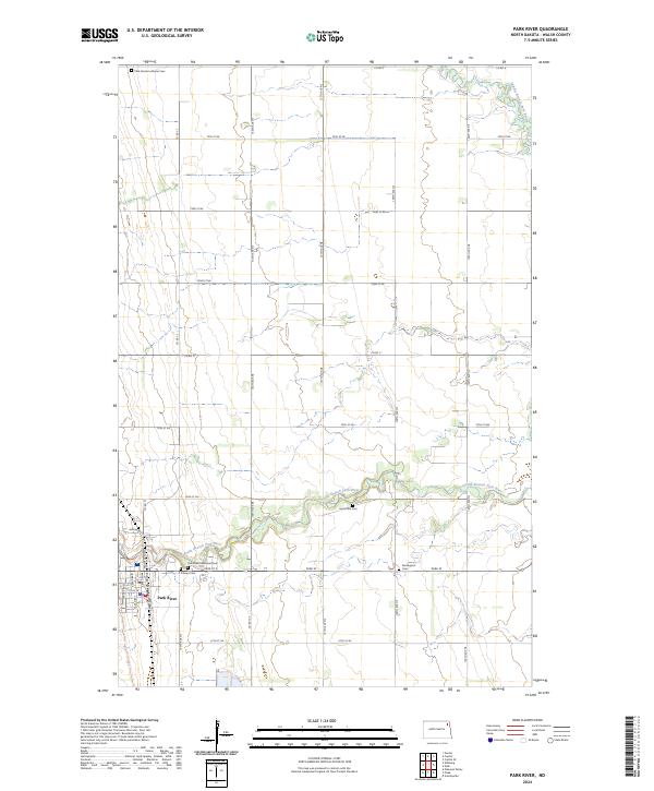
2024 Map of Park River
USGS Topo · Published 2024About this map
The town of Park River serves as the primary hub in this Walsh County landscape, where the local grid is defined by the winding course of the South Branch Park River. The settlement is intricately mapped with residential streets such as Wadge Ave S, Briggs Ave S, and Railroad Ave E, reflecting its growth around historical transportation corridors. Beyond the town limits, the geography is characterized by an organized section-line road system that connects several community burial grounds, including the Park Center Lutheran Cem to the north and the Kensington Cem to the east.
Find a feature on this map
39 named features on this map. Tap any name to fly to it.
Don’t see what you’re looking for? This feature index may not catch every label — zoom into the map to look around manually.
Map Details
Editions of this 2024 Park River Map
This is the sole edition of this map. No revisions or reprints were ever made.
Other maps of this area

1944 · Crystal
USGS Topo · 1:62,500

1952 · Thief River Falls
USGS Topo · 1:250,000

1956 · Thief River Falls
USGS Topo · 1:250,000

1957 · Thief River Falls
USGS Topo · 1:250,000

1963 · Crystal SE
USGS Topo · 1:24,000

1963 · Crystal
USGS Topo · 1:24,000

1963 · Edinburg
USGS Topo · 1:24,000

1963 · Pleasant Valley
USGS Topo · 1:24,000

1963 · Gardar
USGS Topo · 1:24,000

1963 · Pisek
USGS Topo · 1:24,000