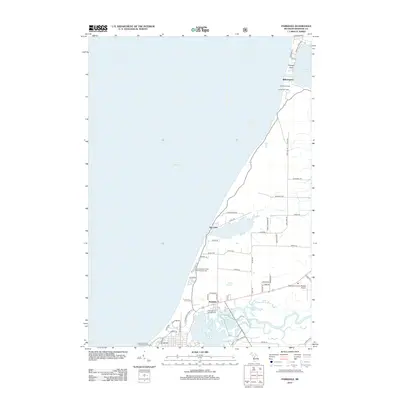
2012 Map of Parkdale
USGS Topo · Published 2012About this map
Lake Michigan defines the western edge of this 2012 coastal survey, where the shoreline transition from Portage Point down to the mouth of the Manistee River reveals a landscape of maritime navigation and recreational development. The northern reaches show the historic connection between the great lake and Portage Lake at Williamsport, marked by the North Pier Light and South Pier Light. Moving south, the terrain opens into a series of smaller inland water bodies like Bar Lake and Indian Springs, which are bordered by established camping destinations such as Orchard Beach State Park Campground.
Find a feature on this map
62 named features on this map. Tap any name to fly to it.
Don’t see what you’re looking for? This feature index may not catch every label — zoom into the map to look around manually.
Map Details
Editions of this 2012 Parkdale Map
This is the sole edition of this map. No revisions or reprints were ever made.
Other maps of this area

1954 · Manitowoc
USGS Topo · 1:250,000

1956 · Onekama
USGS Topo · 1:62,500

1956 · Bar Lake
USGS Topo · 1:62,500

1957 · Freesoil
USGS Topo · 1:62,500

1958 · Manitowoc
USGS Topo · 1:250,000

1958 · Manistee
USGS Topo · 1:62,500

1976 · Onekama NW
USGS Topo · 1:24,000

1976 · Onekama SW
USGS Topo · 1:24,000
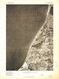
1976 · Bar Lake SE
USGS Topo · 1:24,000
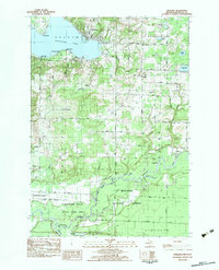
1982 · Onekama
USGS Topo · 1:25,000