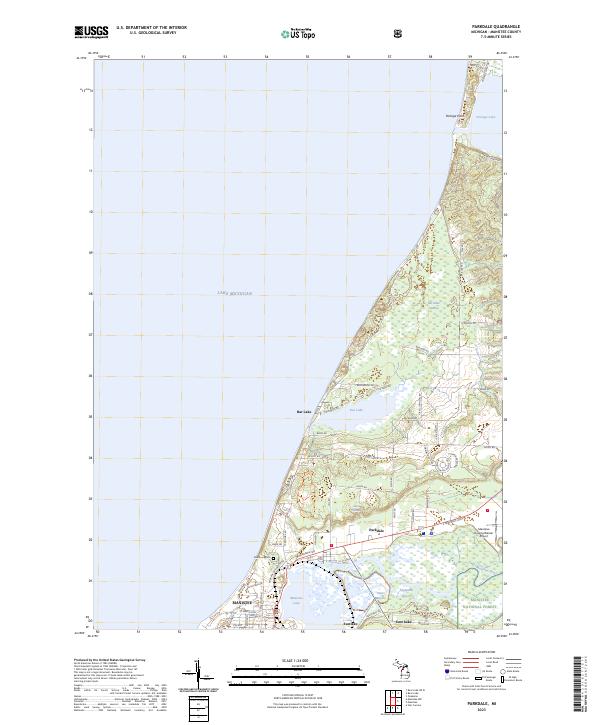
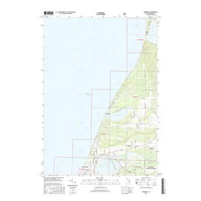
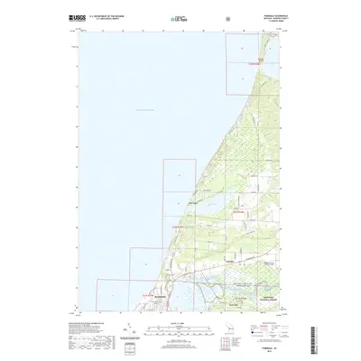
2023 Map of Parkdale
USGS Topo · Published 2023About this map
Lake Michigan defines the western edge of this 2023 coastal survey, where the shoreline transitions from the developed corridors of Manistee National Forest to the marshy lowlands of Bar-bake Swamp. The landscape is dominated by significant water bodies, including Portage Lake in the north and the complex delta of the Manistee River at the southern edge near Eastlake. This waterway network, including Peters Bayou and Highpoint Bayou, underscores the region's historical reliance on river and lake navigation.
Find a feature on this map
66 named features on this map. Tap any name to fly to it.
Don’t see what you’re looking for? This feature index may not catch every label — zoom into the map to look around manually.
Map Details
Editions of this 2023 Parkdale Map
This is the sole edition of this map. No revisions or reprints were ever made.
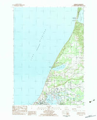
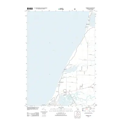
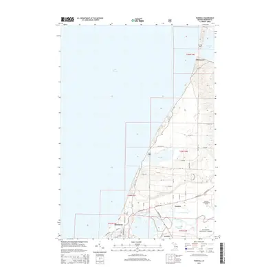
Historical Maps of Manistee Through Time
6 maps found
Featured Locations
- Onekama Township, MI
- Manistee, MI
- Manistee Township, MI
- Eastlake, Manistee Township
- Parkdale, Manistee Township