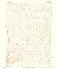
1957 Map of Parker
USGS Topo · Published 1958About this map
Cherry Creek meanders northward through this landscape as it appeared in the mid-1950s, feeding into the Cherry Creek Reservoir at the top of the sheet. The small settlement of Parker serves as a focal point near the confluence of Sulphur Gulch and Tallman Gulch, showing a traditional town grid before the era of intensive suburban expansion. The transition from agricultural use to infrastructure is evident in the presence of the Aurora Water Supply and the Cherry Creek Grange Hall, alongside a Railroad Grade that follows the creek valley.
Find a feature on this map
21 named features on this map. Tap any name to fly to it.
Don’t see what you’re looking for? This feature index may not catch every label — zoom into the map to look around manually.
Map Details
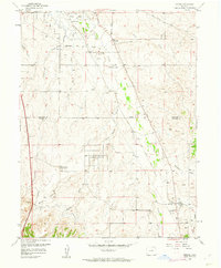
Editions of this 1957 Parker Map
2 editions found
Other maps of this area

1890 · East Denver
USGS Topo · 1:125,000

1894 · Castle Rock
USGS Topo · 1:125,000

1913 · Castle Rock
USGS Topo · 1:125,000

1935 · East Denver Nos. 3 and 4
USGS Topo · 1:48,000

1939 · Coal Creek
USGS Topo · 1:24,000

1939 · Elizabeth
USGS Topo · 1:62,500

1940 · Englewood
USGS Topo · 1:31,680

1940 · Piney Creek
USGS Topo · 1:24,000

1940 · Castle Rock
USGS Topo · 1:62,500

1941 · Fitzsimons
USGS Topo · 1:31,680