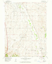
1957 Map of Parker
USGS Topo · Published 1961About this map
Cherry Creek Reservoir sits at the northern edge of this late-1950s landscape, serving as a primary flood control point for the drainage basin. The area transitions from the emerging suburban layout of Grandview Estates and the recreation-focused Valley Country Club to more traditional agricultural and ranching operations, such as the Schweger Ranch. Infrastructure development is clearly visible through the Aurora Water Supply facilities, including various pumphouses and a prominent pipeline cutting across the terrain.
Find a feature on this map
33 named features on this map. Tap any name to fly to it.
Don’t see what you’re looking for? This feature index may not catch every label — zoom into the map to look around manually.
Map Details
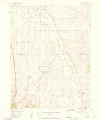
Editions of this 1957 Parker Map
2 editions found
Other maps of this area

1890 · East Denver
USGS Topo · 1:125,000

1894 · Castle Rock
USGS Topo · 1:125,000

1913 · Castle Rock
USGS Topo · 1:125,000

1935 · East Denver Nos. 3 and 4
USGS Topo · 1:48,000

1939 · Coal Creek
USGS Topo · 1:24,000

1939 · Elizabeth
USGS Topo · 1:62,500

1940 · Englewood
USGS Topo · 1:31,680

1940 · Piney Creek
USGS Topo · 1:24,000

1940 · Castle Rock
USGS Topo · 1:62,500

1941 · Fitzsimons
USGS Topo · 1:31,680