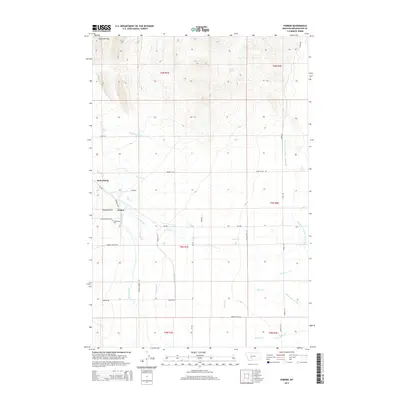
2014 Map of Parker
USGS Topo · Published 2014About this map
Radersburg and the small settlement of Parker anchor this Western Montana landscape, situated at the base of the Limestone Hills. The area's agricultural history is written across the terrain in an intricate network of irrigation projects, including the Broadwater - Missouri W Side Canal and the Willow Swamp Canal. These systems, along with many family-named waterways like Tom Williams Ditch, Mullins Ditch, and Miller Ditch, illustrate the intensive water management required to sustain ranching and farming in this arid environment. Near the Charity Gulch drainage, the Radersburg Cem remains a significant touchstone for genealogists. The map also records the transit of the landscape through local roads such as Toma Rd and Keating Gulch Rd, connecting the scattered homesteads and pastures that define this portion of Broadwater County.
Find a feature on this map
40 named features on this map. Tap any name to fly to it.
Don’t see what you’re looking for? This feature index may not catch every label — zoom into the map to look around manually.
Map Details
Editions of this 2014 Parker Map
This is the sole edition of this map. No revisions or reprints were ever made.
Other maps of this area

1886 · Fort Logan
USGS Topo · 1:250,000

1948 · White Sulphur Springs
USGS Topo · 1:250,000

1949 · Radersburg
USGS Topo · 1:62,500

1949 · Toston
USGS Topo · 1:62,500

1950 · Townsend
USGS Topo · 1:62,500

1950 · Duck Creek Pass
USGS Topo · 1:62,500

1958 · White Sulphur Springs
USGS Topo · 1:250,000

1961 · White Sulphur Springs
USGS Topo · 1:250,000

1965 · White Sulphur Springs
USGS Topo · 1:250,000

1976 · Townsend
USGS Topo · 1:100,000