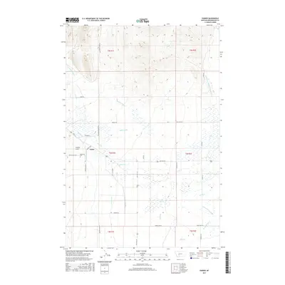
2017 Map of Parker
USGS Topo · Published 2017About this map
Parker serves as a central point in this Broadwater County landscape, where the high plains meet a sophisticated network of early twentieth-century water management. The area is defined by a dense lattice of irrigation infrastructure, including the Broadwater - Missouri W Side Canal and numerous family-named waterways like Mullins Ditch and Hystens Ditch. This reliance on controlled water suggests a legacy of intensive agriculture and ranching in a semi-arid environment.
Find a feature on this map
44 named features on this map. Tap any name to fly to it.
Don’t see what you’re looking for? This feature index may not catch every label — zoom into the map to look around manually.
Map Details
Editions of this 2017 Parker Map
This is the sole edition of this map. No revisions or reprints were ever made.
Other maps of this area

1886 · Fort Logan
USGS Topo · 1:250,000

1948 · White Sulphur Springs
USGS Topo · 1:250,000

1949 · Radersburg
USGS Topo · 1:62,500

1949 · Toston
USGS Topo · 1:62,500

1950 · Townsend
USGS Topo · 1:62,500

1950 · Duck Creek Pass
USGS Topo · 1:62,500

1958 · White Sulphur Springs
USGS Topo · 1:250,000

1961 · White Sulphur Springs
USGS Topo · 1:250,000

1965 · White Sulphur Springs
USGS Topo · 1:250,000

1976 · Townsend
USGS Topo · 1:100,000