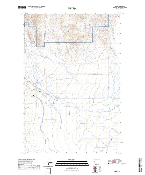
2024 Map of Parker
USGS Topo · Published 2024About this map
Radersburg stands as the primary settlement in this corner of Broadwater County, where the high desert terrain of the Limestone Hills meets an intricate network of early 21st-century irrigation infrastructure. The landscape is defined by its water management, featuring a dense system of gravity-fed waterways such as Tom Williams Ditch, Mullins Ditch, and the Broadwater Missouri West Side Canal. These channels deviate from the natural courses of Crow Creek and Swamp Creek to support the local ranching economy.
Find a feature on this map
48 named features on this map. Tap any name to fly to it.
Don’t see what you’re looking for? This feature index may not catch every label — zoom into the map to look around manually.
Map Details
Editions of this 2024 Parker Map
This is the sole edition of this map. No revisions or reprints were ever made.
Other maps of this area

1886 · Fort Logan
USGS Topo · 1:250,000

1948 · White Sulphur Springs
USGS Topo · 1:250,000

1949 · Radersburg
USGS Topo · 1:62,500

1949 · Toston
USGS Topo · 1:62,500

1950 · Townsend
USGS Topo · 1:62,500

1950 · Duck Creek Pass
USGS Topo · 1:62,500

1958 · White Sulphur Springs
USGS Topo · 1:250,000

1961 · White Sulphur Springs
USGS Topo · 1:250,000

1965 · White Sulphur Springs
USGS Topo · 1:250,000

1976 · Townsend
USGS Topo · 1:100,000