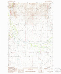
1986 Map of Parker
USGS Topo · Published 1986About this map
The Limestone Hills dominate the western portion of this Broadwater County landscape, where the small settlement of Parker sits at the junction of several drainages. Irrigation and water management are evident across the valley floor, defined by the Willow Swamp Canal and the meandering paths of Crow Creek and Warm Springs Creek as they move toward the Missouri River. The presence of a small Cem and several gravel pits and a Quarry near Keating Gulch suggests a community shaped by local extraction and ranching.
Find a feature on this map
20 named features on this map. Tap any name to fly to it.
Don’t see what you’re looking for? This feature index may not catch every label — zoom into the map to look around manually.
Map Details
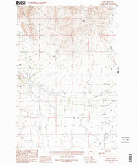
Editions of this 1986 Parker Map
2 editions found
Other maps of this area

1886 · Fort Logan
USGS Topo · 1:250,000

1948 · White Sulphur Springs
USGS Topo · 1:250,000

1949 · Radersburg
USGS Topo · 1:62,500

1949 · Toston
USGS Topo · 1:62,500

1950 · Townsend
USGS Topo · 1:62,500

1950 · Duck Creek Pass
USGS Topo · 1:62,500

1958 · White Sulphur Springs
USGS Topo · 1:250,000

1961 · White Sulphur Springs
USGS Topo · 1:250,000

1965 · White Sulphur Springs
USGS Topo · 1:250,000

1976 · Townsend
USGS Topo · 1:100,000