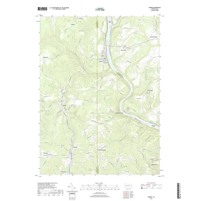
2019 Map of Parker
USGS Topo · Published 2019About this map
The Allegheny River snakes through the heart of this landscape, forming a sharp oxbow that carves through the convergence of Clarion, Armstrong, and Butler counties. Along the western banks, the city of Parker sits as a primary hub, marked by its religious and civic foundations such as the Parker Presbyterian Cem and the Grand Army of the Republic Cem. The surrounding terrain is a complex network of valleys like Binker Valley and deep draws such as Crozier Hollow, where small settlements like Petrolia, Bruin, and Karns City are situated along the winding paths of Bear Creek and its branches.
Find a feature on this map
136 named features on this map. Tap any name to fly to it.
Don’t see what you’re looking for? This feature index may not catch every label — zoom into the map to look around manually.
Map Details
Editions of this 2019 Parker Map
This is the sole edition of this map. No revisions or reprints were ever made.
Other maps of this area

1900 · Kittanning
USGS Topo · 1:62,500

1902 · Kittanning
USGS Topo · 1:62,500

1907 · Foxburg
USGS Topo · 1:62,500

1908 · Foxburg
USGS Topo · 1:62,500

1909 · Butler
USGS Topo · 1:62,500

1910 · Hilliards
USGS Topo · 1:62,500
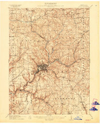
1911 · Butler
USGS Topo · 1:62,500
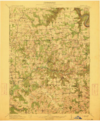
1912 · Hilliards
USGS Topo · 1:62,500
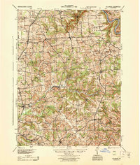
1944 · Hilliards
USGS Topo · 1:62,500

1953 · Pittsburgh
USGS Topo · 1:250,000