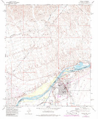
1970 Map of Parker
USGS Topo · Published 1985About this map
The Colorado River serves as the central artery for this desert region, defining the border and the local economy through its extensive irrigation and power infrastructure. Near Parker, the river is managed by the Headgate Rock Dam and several Gaging Stations, which facilitate the Colorado River Aqueduct and the complex system of canals including the Main Drain and Lateral 19 R. This 1970s record shows the Colorado River Indian Reservation as a focal point of administration, housing the Colorado River Indian Agency Hdqrs and the Colorado River Indian Tribes Admin Center. North of the urban center, the rugged Whipple Mountains contrast with the cultivated Parker Valley, while features like the Blue Cloud Mine and various prospects point to the area's history of mineral extraction. Modern infrastructure such as the Parker Municipal Airport and the At&Sf railroad corridor underscore the town's role as a regional transport hub.
Find a feature on this map
48 named features on this map. Tap any name to fly to it.
Don’t see what you’re looking for? This feature index may not catch every label — zoom into the map to look around manually.
Map Details
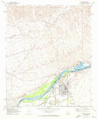
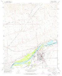
Editions of this 1970 Parker Map
3 editions found
Other maps of this area

1911 · Parker
USGS Topo · 1:125,000

1943 · Giers Basin
USGS Topo · 1:62,500

1943 · Whipple Mts.
USGS Topo · 1:62,500

1943 · Parker
USGS Topo · 1:62,500

1949 · Parker
USGS Topo · 1:62,500

1950 · Parker Dam Area
USGS Topo · 1:62,500

1950 · Parker
USGS Topo · 1:62,500

1950 · Whipple Mts
USGS Topo · 1:62,500

1952 · Whipple Mts
USGS Topo · 1:62,500

1954 · Needles
USGS Topo · 1:250,000