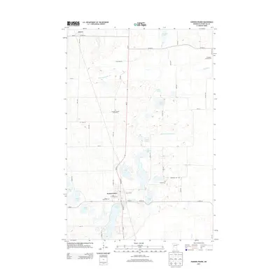
2013 Map of Parkers Prairie
USGS Topo · Published 2013About this map
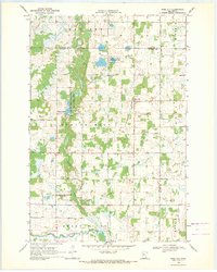
Parkers Prairie serves as the primary hub of this landscape, situated at the junction of MN-29 and MN-235. The town's layout is centered around Lake Adley and East Main Street, featuring local institutions like Saint Williams Cemetery and the Parkers Prairie Cemetery. To the north, the small settlement of Almora rests near the headwaters of the Wing River and Wing River Lake, marking a transition into a terrain heavily defined by glacial lakes and a complex drainage system.
Find a feature on this map
51 named features on this map. Tap any name to fly to it.
Don’t see what you’re looking for? This feature index may not catch every label — zoom into the map to look around manually.
Map Details
Editions of this 2013 Parkers Prairie Map
This is the sole edition of this map. No revisions or reprints were ever made.
Other maps of this area

1953 · Brainerd
USGS Topo · 1:250,000

1957 · Brainerd
USGS Topo · 1:250,000

1958 · Brainerd
USGS Topo · 1:250,000

1965 · Brainerd
USGS Topo · 1:250,000
1969 · Lake Miltona West
USGS Topo · 1:24,000
1969 · Lake Miltona East
USGS Topo · 1:24,000

1969 · Henning
USGS Topo · 1:24,000
1969 · Parkers Prairie NW
USGS Topo · 1:24,000

1969 · Henning SE
USGS Topo · 1:24,000
1969 · Rose City
USGS Topo · 1:24,000
Featured Places
- Parkers Prairie, MN
- Eastern Township, MN
- Parkers Prairie Park, Parkers Prairie
- Elmo Township, MN
- Parkers Prairie Township, MN