2022 Map of Parkers Prairie
USGS Topo · Published 2022About this map
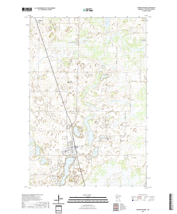
Almora serves as a primary settlement point in this north-central Minnesota landscape, which is defined by an intricate network of wetlands and small glacial lakes. The terrain is crisscrossed by established drainage systems such as County Ditch Number Four and County Ditch Number Nineteen, which reflect the agricultural management of this lakeland environment. This 2022 survey details a region where water management and transportation routes are carefully integrated into the natural topography. The map illustrates how local infrastructure, including numerous county roads, navigates between water bodies like Graven Lake and Cora Lake, providing a clear view of the contemporary rural layout in Otter Tail County.
Find a feature on this map
1 named feature on this map. Tap any name to fly to it.
Don’t see what you’re looking for? This feature index may not catch every label — zoom into the map to look around manually.
Map Details
Editions of this 2022 Parkers Prairie Map
This is the sole edition of this map. No revisions or reprints were ever made.
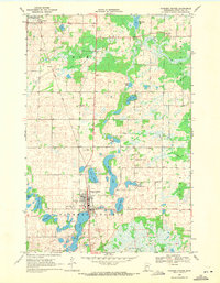
Historical Maps of Eastern Township Through Time
Featured Locations
- Elmo Township, MN
- Woodside Township, MN
- Parkers Prairie, MN
- Parkers Prairie Township, MN
- Eastern Township, MN