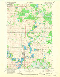
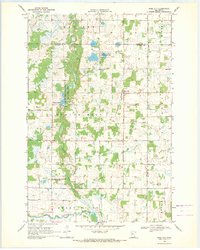
1969 Map of Parkers Prairie
USGS Topo · Published 1971About this map
Parkers Prairie serves as the primary hub of this Otter Tail County landscape, where the Soo Line railroad bisects the town and shapes its early grid. The map reveals a dense concentration of local heritage sites, including the Parkers Prairie Cem and St Williams Cem, anchoring the community's history near the shores of Lake Adley. To the north, the smaller settlement of Almora borders the Almora State Wildlife Management Area, reflecting a transition from agricultural use to protected conservation land.
Find a feature on this map
28 named features on this map. Tap any name to fly to it.
Don’t see what you’re looking for? This feature index may not catch every label — zoom into the map to look around manually.
Map Details
Editions of this 1969 Parkers Prairie Map
This is the sole edition of this map. No revisions or reprints were ever made.
Other maps of this area

1953 · Brainerd
USGS Topo · 1:250,000

1957 · Brainerd
USGS Topo · 1:250,000

1958 · Brainerd
USGS Topo · 1:250,000

1965 · Brainerd
USGS Topo · 1:250,000
1969 · Lake Miltona West
USGS Topo · 1:24,000
1969 · Lake Miltona East
USGS Topo · 1:24,000

1969 · Henning
USGS Topo · 1:24,000
1969 · Parkers Prairie NW
USGS Topo · 1:24,000

1969 · Henning SE
USGS Topo · 1:24,000
1969 · Rose City
USGS Topo · 1:24,000