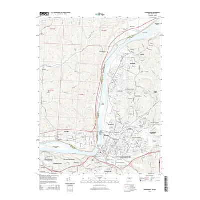
2014 Map of Parkersburg
USGS Topo · Published 2014About this map
Parkersburg and the neighboring community of Vienna occupy the eastern bank of the Ohio River in this 2014 survey, which documents the complex industrial and residential landscape of the mid-Ohio Valley. Large islands such as Blennerhassett Island, Vienna Island, and Muskingum Island fragment the river channel, while the west bank is home to Belpre and Rockland, Ohio. The map captures a high density of cemeteries, including the expansive Parkersburg Memorial Gardens and Arlington Memorial Gardens, which are critical landmarks for local genealogical research.
Find a feature on this map
122 named features on this map. Tap any name to fly to it.
Don’t see what you’re looking for? This feature index may not catch every label — zoom into the map to look around manually.
Map Details
Editions of this 2014 Parkersburg Map
This is the sole edition of this map. No revisions or reprints were ever made.
Other maps of this area

1902 · Parkersburg
USGS Topo · 1:62,500

1904 · Parkersburg
USGS Topo · 1:62,500

1904 · Marietta
USGS Topo · 1:62,500

1906 · Elizabeth
USGS Topo · 1:62,500

1906 · Belleville
USGS Topo · 1:62,500

1924 · Belleville
USGS Topo · 1:62,500

1924 · Marietta
USGS Topo · 1:62,500

1924 · Elizabeth
USGS Topo · 1:62,500

1926 · Elizabeth
USGS Topo · 1:62,500

1926 · Belleville
USGS Topo · 1:62,500