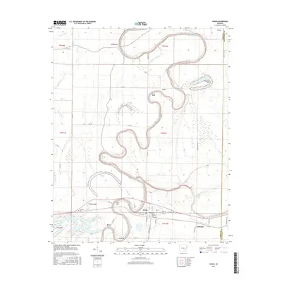
2017 Map of Parkin
USGS Topo · Published 2017About this map
The Saint Francis River snakes in dramatic loops across this Arkansas landscape, defining the character of Cross County and Crittenden County. Near the town of Parkin, the river is joined by several smaller waterways, including the Tyronza River and Elbow Slu. The complex hydrology of the region is evident in the numerous oxbows and sloughs such as Lindley Slough, Wolf Slough, and Sycamore Slough, which speak to the historic shifting of the riverbeds over time.
Find a feature on this map
58 named features on this map. Tap any name to fly to it.
Don’t see what you’re looking for? This feature index may not catch every label — zoom into the map to look around manually.
Map Details
Editions of this 2017 Parkin Map
This is the sole edition of this map. No revisions or reprints were ever made.
Other maps of this area

1939 · Edmondson
USGS Topo · 1:62,500

1940 · Deckerville
USGS Topo · 1:62,500

1940 · Princedale
USGS Topo · 1:62,500

1940 · Whitmore
USGS Topo · 1:62,500

1953 · Memphis
USGS Topo · 1:250,000

1954 · Edmondson
USGS Topo · 1:62,500

1956 · Memphis
USGS Topo · 1:250,000

1956 · Whitmore
USGS Topo · 1:62,500

1956 · Princedale
USGS Topo · 1:62,500

1957 · Deckerville
USGS Topo · 1:62,500