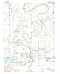
1984 Map of Parkin
USGS Topo · Published 1985About this map
The St Francis River dictates the winding geography of this Delta region, carving deep meanders and oxbows across the landscape near the Cross and Crittenden County line. The town of Parkin serves as the primary hub, situated where the river makes a sharp turn near the confluence with the Tyronza River. This 1980s-era documentation highlights the intricate network of wetlands and secondary waterways, including Bee Tree Slough and Wolf Slough, which define the low-lying terrain between agricultural fields.
Find a feature on this map
29 named features on this map. Tap any name to fly to it.
Don’t see what you’re looking for? This feature index may not catch every label — zoom into the map to look around manually.
Map Details
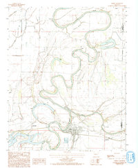
Editions of this 1984 Parkin Map
2 editions found
Other maps of this area

1939 · Edmondson
USGS Topo · 1:62,500

1940 · Deckerville
USGS Topo · 1:62,500

1940 · Princedale
USGS Topo · 1:62,500

1940 · Whitmore
USGS Topo · 1:62,500

1953 · Memphis
USGS Topo · 1:250,000

1954 · Edmondson
USGS Topo · 1:62,500

1956 · Memphis
USGS Topo · 1:250,000

1956 · Whitmore
USGS Topo · 1:62,500

1956 · Princedale
USGS Topo · 1:62,500

1957 · Deckerville
USGS Topo · 1:62,500