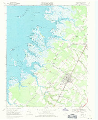
1968 Map of Parksley
USGS Topo · Published 1971About this map
Parksley sits at the heart of this coastal Virginia landscape, serving as a key rail hub along the Penn Central line during the late 1960s. The map illustrates a transition from the agricultural interior to the intricate salt marshes and tidal guts of Beasley Bay. Small communities like Guilford, Lee Mont, and Hopeton are connected by narrow roads, with numerous rural churches such as Bethel Ch and St Thomas Ch anchoring the local geography. Along the shoreline, the topography gives way to an expansive network of waterways including Great Gut, Guilford Creek, and Little Back Creek. Evidence of the region’s maritime and fishing heritage is visible at Parker Landing and the various islands like Webb Island and the Bernard Islands. The presence of many small family cemeteries and named landings makes this a significant record for understanding the historical settlement patterns of Accomack County.
Find a feature on this map
98 named features on this map. Tap any name to fly to it.
Don’t see what you’re looking for? This feature index may not catch every label — zoom into the map to look around manually.
Map Details
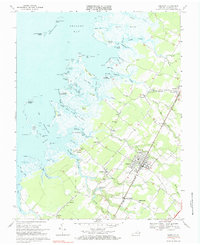
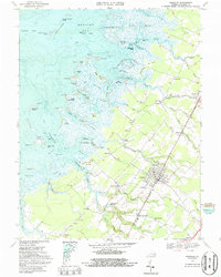
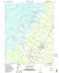
Editions of this 1968 Parksley Map
4 editions found
Other maps of this area

1903 · Crisfield
USGS Topo · 1:62,500

1920 · Crisfield
USGS Topo · 1:62,500

1931 · Accomac
USGS Topo · 1:48,000

1935 · Accomac
USGS Topo · 1:62,500

1942 · Chesconessex
USGS Topo · 1:31,680

1942 · Mappsville
USGS Topo · 1:24,000

1942 · Saxis
USGS Topo · 1:24,000

1942 · Parksley
USGS Topo · 1:24,000

1943 · Pungoteague
USGS Topo · 1:31,680

1943 · Parksley
USGS Topo · 1:31,680