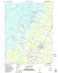
1968 Map of Parksley
USGS Topo · Published 1987About this map
Parksley stands as a focal point in this coastal section of Accomack County, anchored by the Penn Central rail corridor that links it to nearby Bloxom and Hopeton. The landscape is a intricate mesh of inland farmsteads and a vast, tidal marshland system to the west. Waterways such as Hunting Creek, Deep Creek, and Guilford Creek carve through the shoreline, creating a fragmented geography of landforms like Webb Island, Marks Island, and Cals Hammock.
Find a feature on this map
100 named features on this map. Tap any name to fly to it.
Don’t see what you’re looking for? This feature index may not catch every label — zoom into the map to look around manually.
Map Details
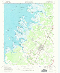
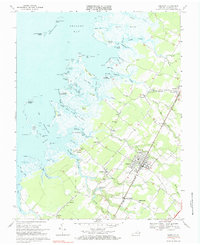
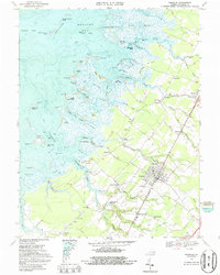
Editions of this 1968 Parksley Map
4 editions found
Other maps of this area

1903 · Crisfield
USGS Topo · 1:62,500

1920 · Crisfield
USGS Topo · 1:62,500

1931 · Accomac
USGS Topo · 1:48,000

1935 · Accomac
USGS Topo · 1:62,500

1942 · Chesconessex
USGS Topo · 1:31,680

1942 · Mappsville
USGS Topo · 1:24,000

1942 · Saxis
USGS Topo · 1:24,000

1942 · Parksley
USGS Topo · 1:24,000

1943 · Pungoteague
USGS Topo · 1:31,680

1943 · Parksley
USGS Topo · 1:31,680