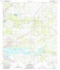
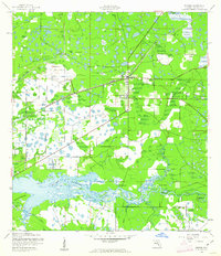
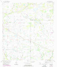
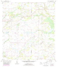
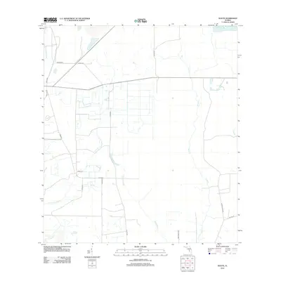
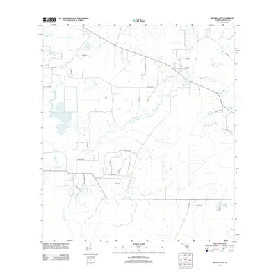
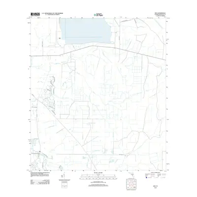
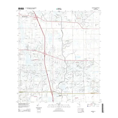
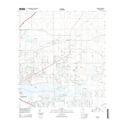
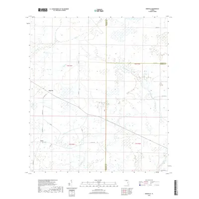
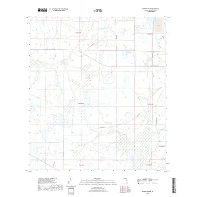
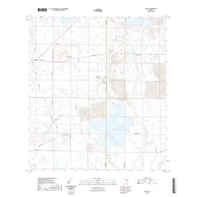
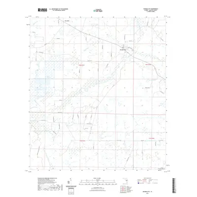
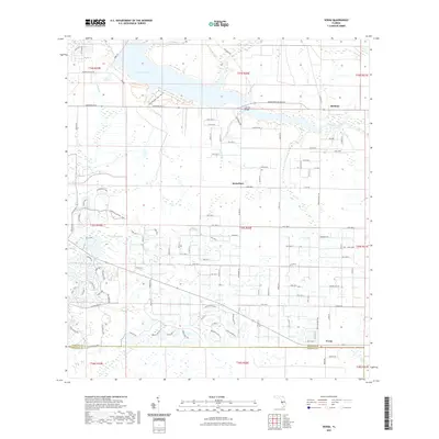
1973 Map of Parrish
USGS Topo · Published 1987About this map
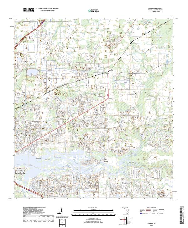
Parrish serves as the focal point of this coastal Florida landscape, where the agricultural interior meets the complex hydrology of the Manatee River. The 1970s era is marked by a transition from traditional land use to recreational and developmental growth, evidenced by the Christian Retreat Campground and Flying Eagle Camp near the river's Devils Elbow. For genealogists and local historians, the presence of Fort Parrish Cem and St Marys Ch offers significant points for tracing family roots in northern Manatee County.
Find a feature on this map
33 named features on this map. Tap any name to fly to it.
Don’t see what you’re looking for? This feature index may not catch every label — zoom into the map to look around manually.
Map Details
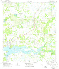
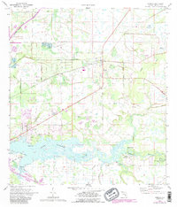
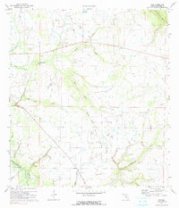
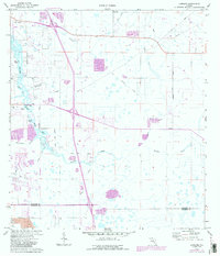
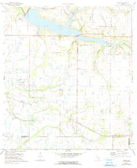
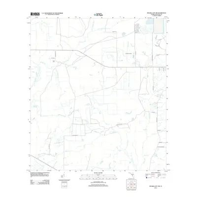
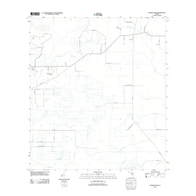
Editions of this 1973 Parrish Map
3 editions found
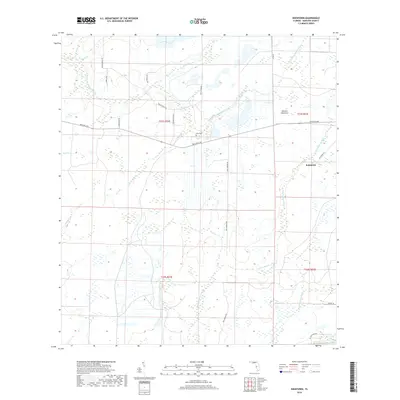
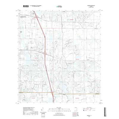
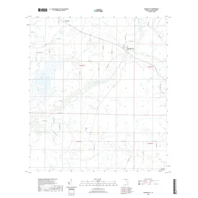
Historical Maps of Bradenton Through Time
65 maps found

1921 Fort De Soto
Manatee County, FL
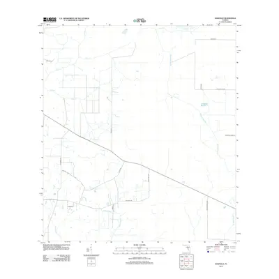
1944 Lorraine
Manatee County, FL
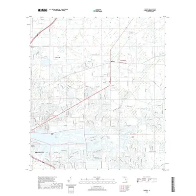
1944 Parrish
Manatee County, FL
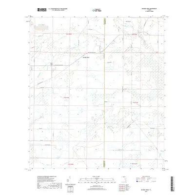
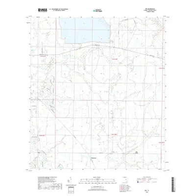
1944 Rye
Manatee County, FL
1944 Verna
Manatee County, FL
1956 Duette
Manatee County, FL
1956 Edgeville
Manatee County, FL
1956 Keentown
Manatee County, FL
1956 Myakka City
Manatee County, FL
1956 Myakka City NW
Manatee County, FL
1956 Myakka Head
Manatee County, FL
1972 Rye
Manatee County, FL
1973 Lorraine
Manatee County, FL
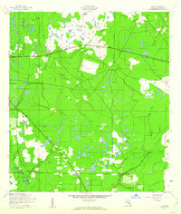
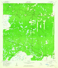
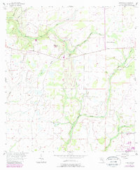
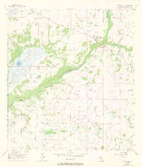
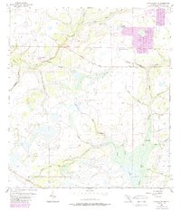
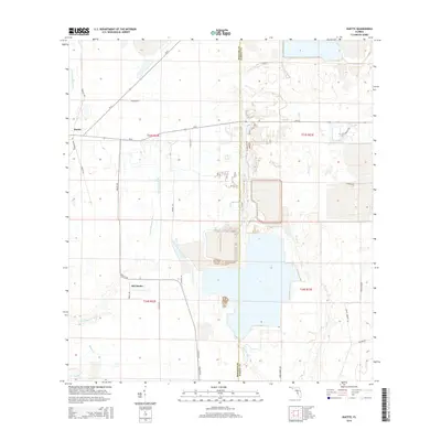
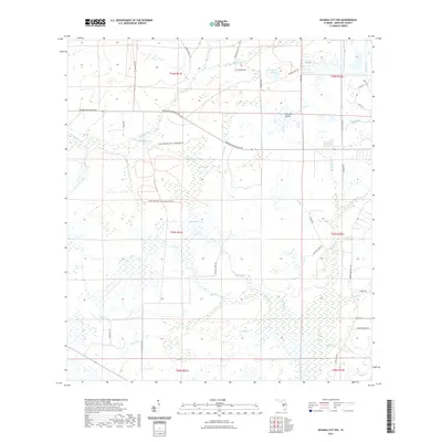
1973 Parrish
Manatee County, FL
1973 Verna
Manatee County, FL
2012 Duette
Manatee County, FL
2012 Edgeville
Manatee County, FL
2012 Keentown
Manatee County, FL
2012 Lorraine
Manatee County, FL
2012 Myakka City
Manatee County, FL
2012 Myakka City NW
Manatee County, FL
2012 Myakka Head
Manatee County, FL
2012 Parrish
Manatee County, FL
2012 Rye
Manatee County, FL

2012 Verna
Manatee County, FL
2015 Duette
Manatee County, FL
2015 Edgeville
Manatee County, FL
2015 Keentown
Manatee County, FL
2015 Lorraine
Manatee County, FL
2015 Myakka City
Manatee County, FL
2015 Myakka City NW
Manatee County, FL
2015 Myakka Head
Manatee County, FL
2015 Parrish
Manatee County, FL
2015 Rye
Manatee County, FL
2015 Verna
Manatee County, FL
2018 Duette
Manatee County, FL
2018 Edgeville
Manatee County, FL
2018 Keentown
Manatee County, FL
2018 Lorraine
Manatee County, FL
2018 Myakka City
Manatee County, FL
2018 Myakka City NW
Manatee County, FL
2018 Myakka Head
Manatee County, FL
2018 Parrish
Manatee County, FL
2018 Rye
Manatee County, FL

2018 Verna
Manatee County, FL
2021 Duette
Manatee County, FL
2021 Edgeville
Manatee County, FL
2021 Keentown
Manatee County, FL
2021 Lorraine
Manatee County, FL
2021 Myakka City
Manatee County, FL
2021 Myakka City NW
Manatee County, FL
2021 Myakka Head
Manatee County, FL

2021 Parrish
Manatee County, FL
2021 Rye
Manatee County, FL
2021 Verna
Manatee County, FL
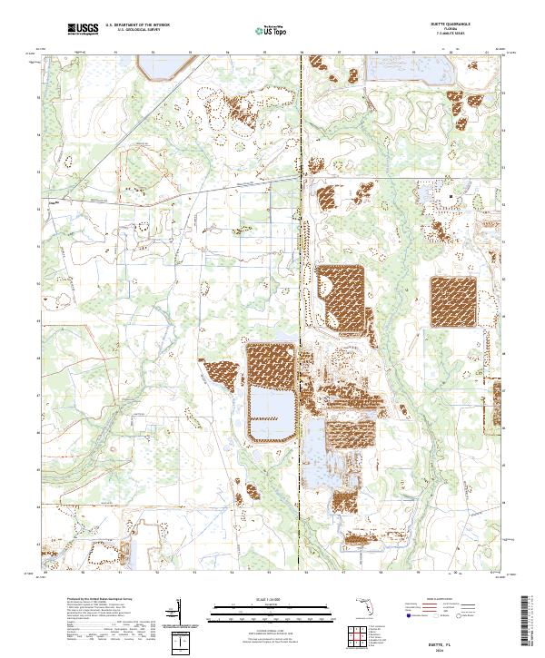
2024 Duette
Manatee County, FL
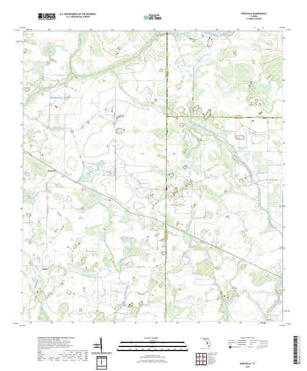
2024 Edgeville
Manatee County, FL
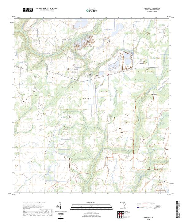
2024 Keentown
Manatee County, FL
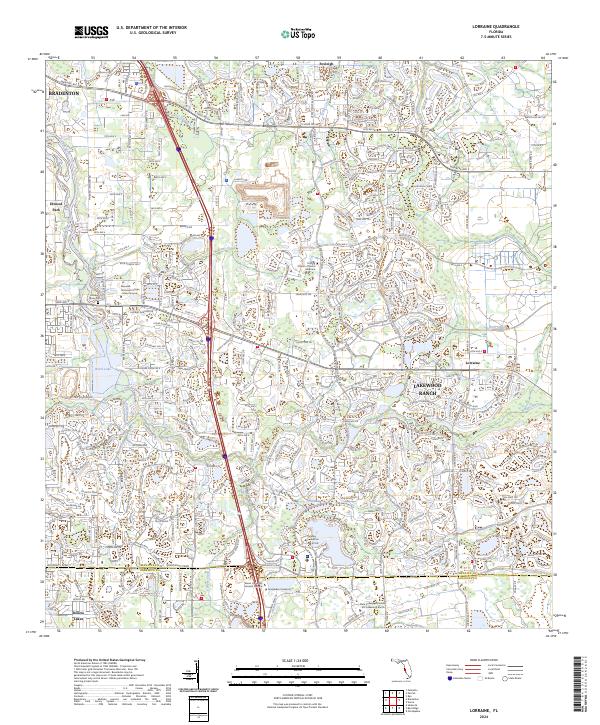
2024 Lorraine
Manatee County, FL
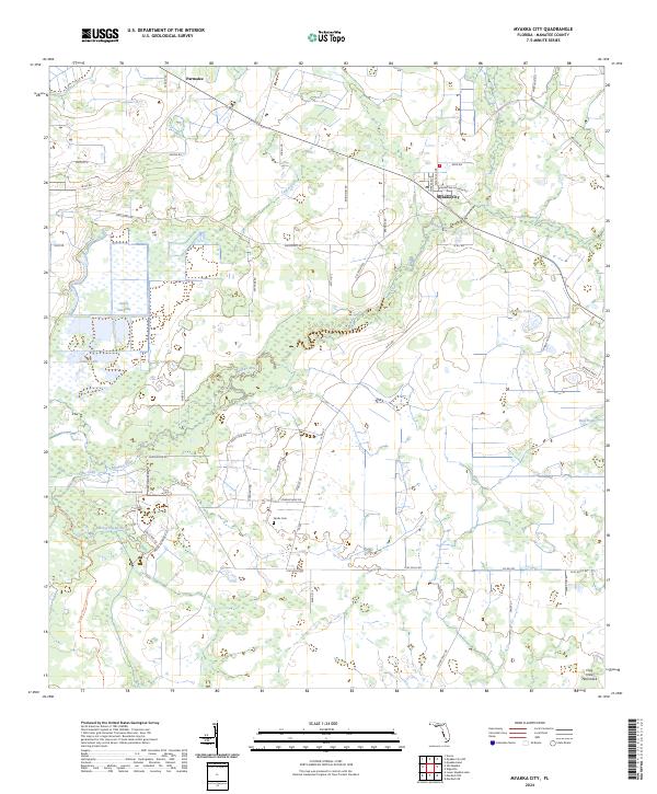
2024 Myakka City
Manatee County, FL
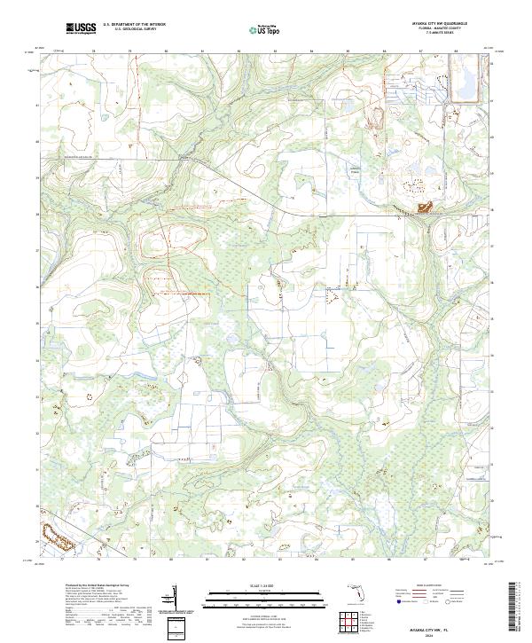
2024 Myakka City NW
Manatee County, FL
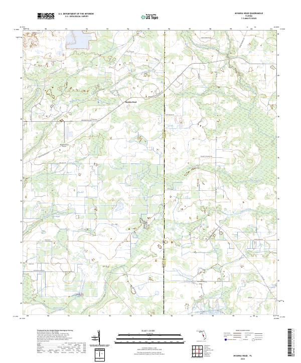
2024 Myakka Head
Manatee County, FL
2024 Parrish
Manatee County, FL
2024 Rye
Manatee County, FL
2024 Verna
Manatee County, FL