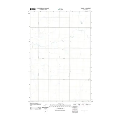
2011 Map of Parshall NE
USGS Topo · Published 2011About this map
East Fork Shell Creek meanders across this rural landscape in the high plains of North Dakota, defining the drainage patterns of a region largely organized by its section-line road network. The map reveals the precise grid of the Jeffersonian survey system, where routes like 40th St NW and 71st Ave NW frame large agricultural tracts. A notable modification to the natural watercourse is found at the Paulson Dam in the northeast, reflecting local efforts to manage the prairie’s seasonal water flow for agricultural or conservation purposes. This document captures the intersection of natural hydrology and the human-imposed geometric order of the northern plains during the early twenty-first century.
Find a feature on this map
13 named features on this map. Tap any name to fly to it.
Don’t see what you’re looking for? This feature index may not catch every label — zoom into the map to look around manually.
Map Details
Editions of this 2011 Parshall NE Map
This is the sole edition of this map. No revisions or reprints were ever made.
Other maps of this area

1953 · Williston
USGS Topo · 1:250,000

1953 · Watford City
USGS Topo · 1:250,000

1954 · Minot
USGS Topo · 1:250,000

1954 · McClusky
USGS Topo · 1:250,000

1956 · Makoti SW
USGS Topo · 1:24,000

1957 · Williston
USGS Topo · 1:250,000

1957 · Watford City
USGS Topo · 1:250,000

1958 · McClusky
USGS Topo · 1:250,000

1958 · Minot
USGS Topo · 1:250,000

1967 · Watford City
USGS Topo · 1:250,000