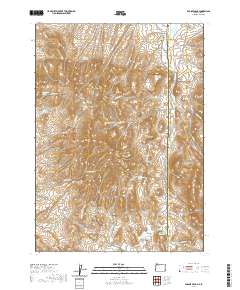
2020 Map of Parsnip Peak
USGS Topo · Published 2020About this map
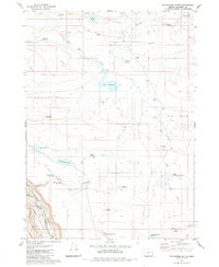
Parsnip Peak and Sagebrush Mtn anchor this high-desert landscape along the border of Oregon and Idaho. The map reveals an intricate network of seasonal drainages and springs essential to this arid region, such as Elguren Spring, Whiskey Spring, and Horse Creek Spring. The presence of Wroten Reservoir 2 and Salt Lick Reservoir indicates a landscape managed for livestock, where water security dictated movement and settlement patterns.
Find a feature on this map
47 named features on this map. Tap any name to fly to it.
Don’t see what you’re looking for? This feature index may not catch every label — zoom into the map to look around manually.
Map Details
Editions of this 2020 Parsnip Peak Map
This is the sole edition of this map. No revisions or reprints were ever made.
Other maps of this area

1955 · Jordan Valley
USGS Topo · 1:250,000

1957 · Jordan Valley
USGS Topo · 1:250,000

1958 · Jordan Valley
USGS Topo · 1:250,000

1965 · Flint Creek
USGS Topo · 1:62,500
1969 · Juniper Ridge
USGS Topo · 1:24,000
1969 · Antelope Reservoir
USGS Topo · 1:24,000
1969 · Jordan Valley
USGS Topo · 1:24,000

1973 · Cliffs
USGS Topo · 1:24,000

1980 · Juniper Point
USGS Topo · 1:24,000
1980 · Whitehorse Butte
USGS Topo · 1:24,000