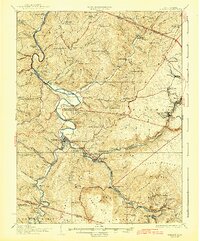
1926 Map of Parsons
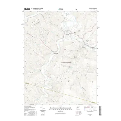
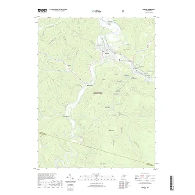
USGS Topo · Published 1942About this map
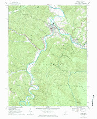
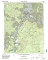
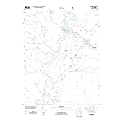
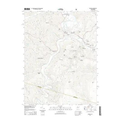
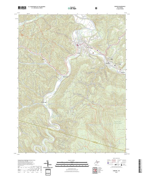
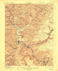
The Cheat River winds through the heart of Tucker County, defining a landscape where industrial expansion and rural life met in the early 20th century. At Parsons, the confluence of river and rail provided a hub for the local timber and mining industries, while the Western Maryland Railroad carved a path through the steep terrain to reach hilltop settlements like Thomas and Coketon. The distribution of dozens of rural schoolhouses and churches, such as Holly Meadows School and Cloverdale Church, illustrates the dense network of small communities that once populated the ridges and hollows.
Find a feature on this map
127 named features on this map. Tap any name to fly to it.
Don’t see what you’re looking for? This feature index may not catch every label — zoom into the map to look around manually.
Map Details
Editions of this 1926 Parsons Map
2 editions found
Historical Maps of Parsons Through Time
9 maps found