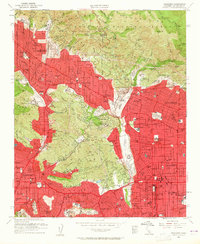
1953 Map of Pasadena
USGS Topo · Published 1960About this map
Jet Propulsion Laboratory and the Rose Bowl anchor this mid-century survey of the northern Los Angeles basin. The transition from the developed suburban grid of Pasadena and Glendale into the steep San Gabriel Mountains is strikingly documented. While established institutions like the Calif Institute of Technology and Occidental College define the urban culture, the map also captures the fringe of the Angeles National Forest, where canyon settlements like Briggs Terrace and Paradise Canyon meet protected lands. Cultural landmarks such as Busch Gardens and Forest Lawn Memorial Park appear alongside numerous schools and colleges, reflecting the post-war educational and residential expansion in neighborhoods like Altadena, La Canada, and Flintridge.
Find a feature on this map
110 named features on this map. Tap any name to fly to it.
Don’t see what you’re looking for? This feature index may not catch every label — zoom into the map to look around manually.
Map Details
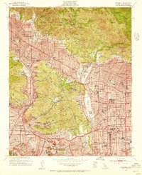
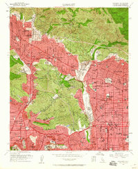
Editions of this 1953 Pasadena Map
3 editions found
Other maps of this area

1894 · Los Angeles
USGS Topo · 1:62,500

1896 · Pasadena
USGS Topo · 1:62,500

1896 · Santa Monica
USGS Topo · 1:62,500

1898 · Santa Monica
USGS Topo · 1:62,500

1900 · Pasadena
USGS Topo · 1:62,500

1900 · Tujunga
USGS Topo · 1:62,500

1900 · Los Angeles
USGS Topo · 1:62,500

1900 · Fernando
USGS Topo · 1:62,500

1901 · Southern California Sheet No. 1
USGS Topo · 1:250,000

1902 · Santa Monica
USGS Topo · 1:62,500