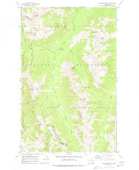
1969 Map of Pasayten Peak
USGS Topo · Published 1977About this map
The Pacific Crest National Scenic Trail winds through this high-altitude landscape where the Okanogan Co and Whatcom Co line meets the international border region. Established within the Okanogan National Forest and the Pasayten Wilderness, the area is defined by the headwaters of the West Fork Pasayten River and the Middle Fork Pasayten River. Several high-mountain thoroughfares, including Holman Pass and Windy Pass, provided essential routes for early forest travelers and prospectors.
Find a feature on this map
42 named features on this map. Tap any name to fly to it.
Don’t see what you’re looking for? This feature index may not catch every label — zoom into the map to look around manually.
Map Details
Editions of this 1969 Pasayten Peak Map
2 editions found
Other maps of this area

1920 · Slate Pass
USGS Topo · 1:125,000

1955 · Concrete
USGS Topo · 1:250,000

1958 · Concrete
USGS Topo · 1:250,000

1962 · Concrete
USGS Topo · 1:250,000

1963 · Azurite Peak
USGS Topo · 1:24,000

1963 · Slate Peak
USGS Topo · 1:24,000
1963 · Robinson Mtn.
USGS Topo · 1:24,000

1969 · Frosty Creek
USGS Topo · 1:24,000
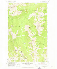
1969 · Pasayten Peak
USGS Topo · 1:24,000

1969 · Tatoosh Buttes
USGS Topo · 1:24,000