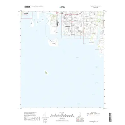
2018 Map of Pascagoula South
USGS Topo · Published 2018About this map
Pascagoula dominates the eastern bank of its namesake river system where the freshwater meets the Gulf of Mexico. This 2018 survey reveals a coastal landscape defined by industrial shipping channels and intricate bayous, including the Bayou Casotte industrial corridor and the protected waters of Lake Yazoo. The city's grid is dense with history, from the streets near Delmas Ave to the Memorial Gardens Cem on the eastern edge.
Find a feature on this map
105 named features on this map. Tap any name to fly to it.
Don’t see what you’re looking for? This feature index may not catch every label — zoom into the map to look around manually.
Map Details
Editions of this 2018 Pascagoula South Map
This is the sole edition of this map. No revisions or reprints were ever made.
Other maps of this area

1921 · Grand Bay
USGS Topo · 1:62,500

1921 · Petit Bois Island
USGS Topo · 1:62,500

1941 · Horn Island
USGS Topo · 1:62,500

1942 · Petit Bois Island
USGS Topo · 1:62,500

1942 · Horn Island
USGS Topo · 1:62,500

1943 · Pascagoula
USGS Topo · 1:62,500

1943 · Grand Bay
USGS Topo · 1:62,500

1953 · Mobile
USGS Topo · 1:250,000

1955 · Pascagoula
USGS Topo · 1:62,500

1957 · Mobile
USGS Topo · 1:250,000
Featured Places
- Pascagoula, MS
- Gautier, MS
- East Pascagoula, Pascagoula
- South Pascagoula, Pascagoula
- East Side, Pascagoula