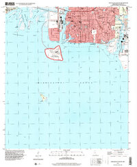
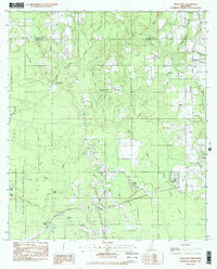
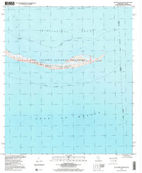
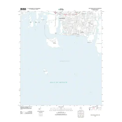
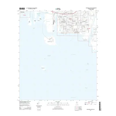
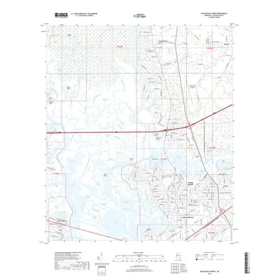
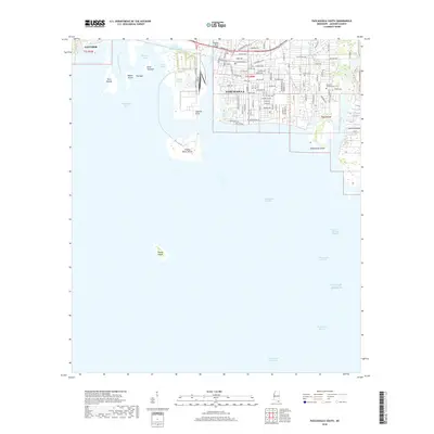
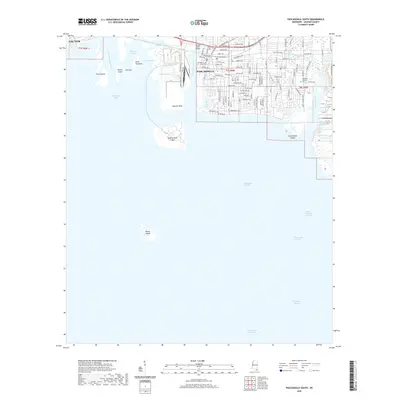
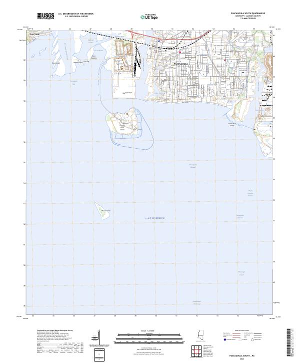
1996 Map of Pascagoula South
USGS Topo · Published 1999About this map
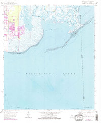
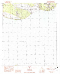
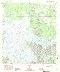
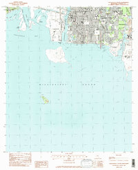
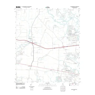
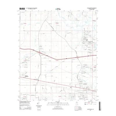
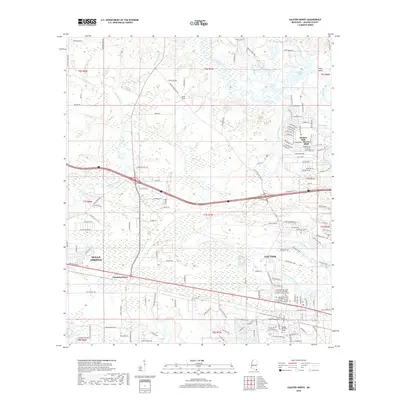
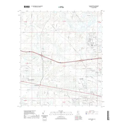
Pascagoula dominates this coastal survey, revealing a landscape defined by maritime industry and public institutions in the late 1990s. The city's grid, featuring streets like Chicago Ave and Beach Blvd, is densely packed with local landmarks, including the Courthouse, Jackson Sch, and Sacred Heart Sch. The shoreline is heavily modified by a complex Levee system and industrial infrastructure, such as the Sewage Disposal Plant and several substations serving the waterfront.
Find a feature on this map
52 named features on this map. Tap any name to fly to it.
Don’t see what you’re looking for? This feature index may not catch every label — zoom into the map to look around manually.
Map Details
Editions of this 1996 Pascagoula South Map
This is the sole edition of this map. No revisions or reprints were ever made.
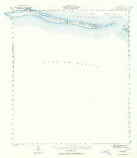
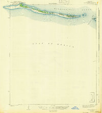
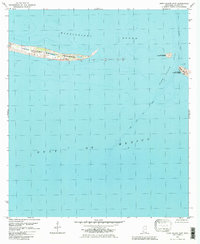
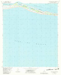
Historical Maps of Pascagoula Through Time
86 maps found
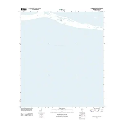
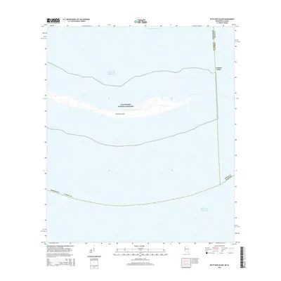
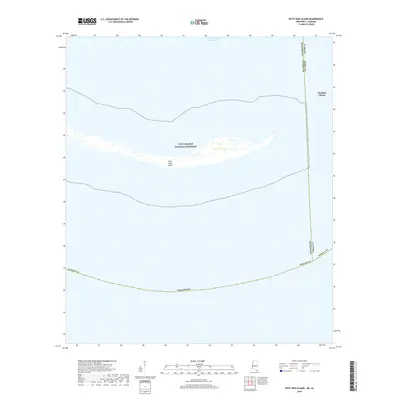
1941 Horn Island
Jackson County, MS
1942 Horn Island
Jackson County, MS
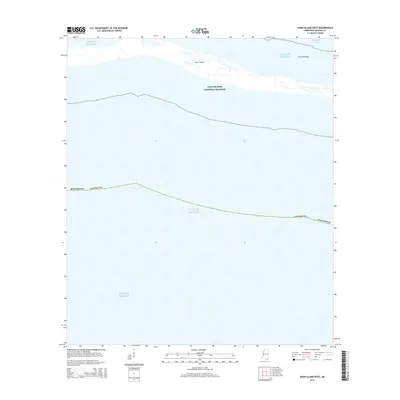
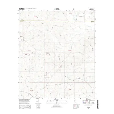
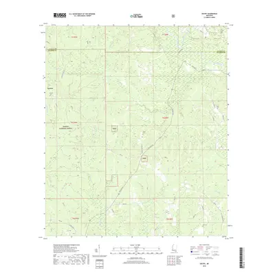
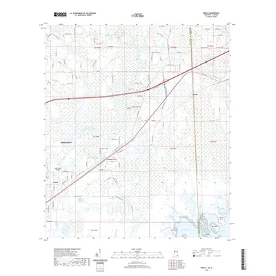
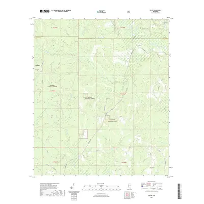
1954 Vestry
Jackson County, MS
1958 Grand Bay SW
Jackson County, MS
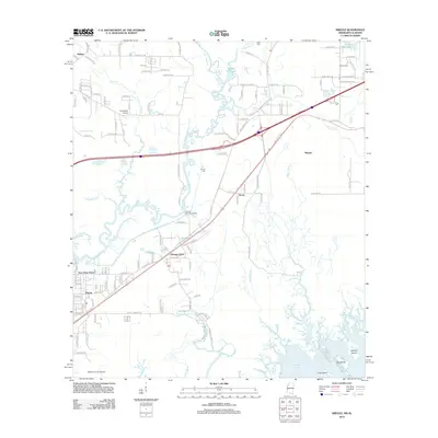
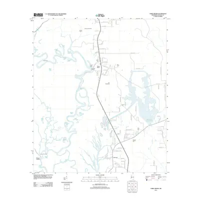
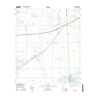
1958 Kreole
Jackson County, MS
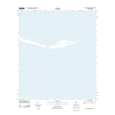
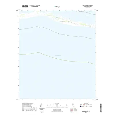
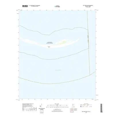
1958 Petit Bois Island
Jackson County, MS
1960 Horn Island East
Jackson County, MS
1960 Horn Island West
Jackson County, MS
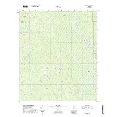
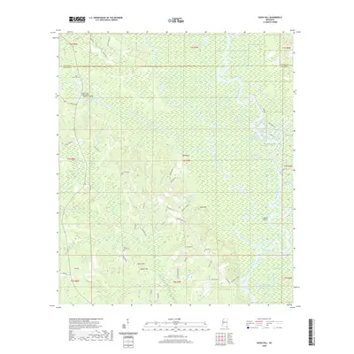
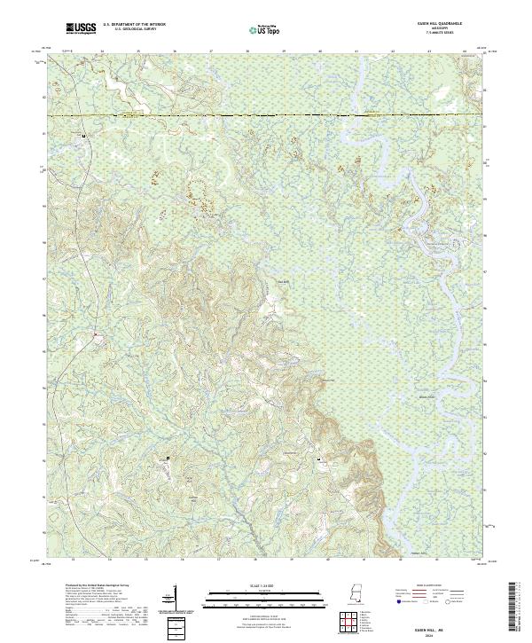
1982 Easen Hill
Jackson County, MS
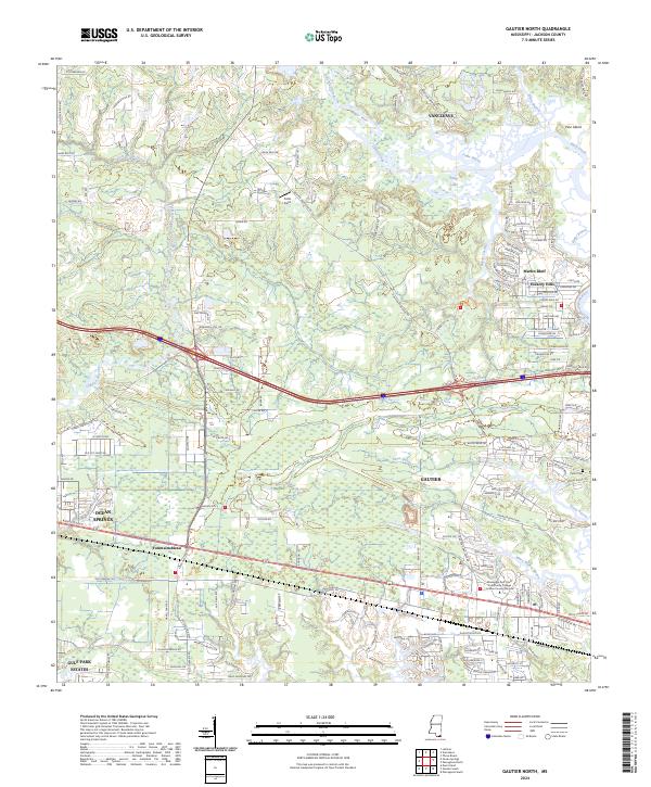
1982 Gautier North
Jackson County, MS
1982 Gautier South
Jackson County, MS
1982 Harleston
Jackson County, MS
1982 Horn Island East
Jackson County, MS
1982 Horn Island West
Jackson County, MS
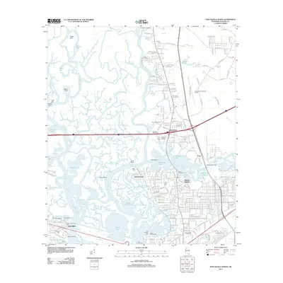
1982 Pascagoula North
Jackson County, MS
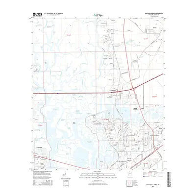
1982 Pascagoula South
Jackson County, MS
1982 Petit Bois Island
Jackson County, MS
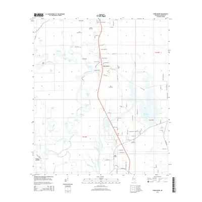
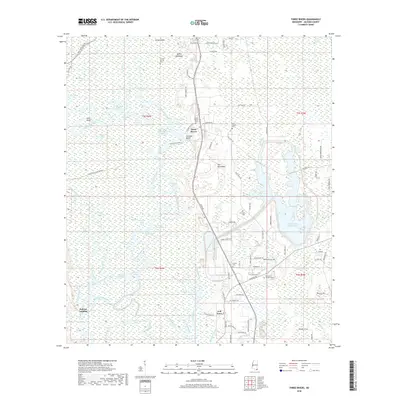
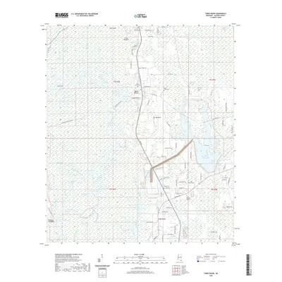
1982 Three Rivers
Jackson County, MS
1982 Vestry
Jackson County, MS
1996 Pascagoula South
Jackson County, MS
2000 Horn Island East
Jackson County, MS
2000 Horn Island West
Jackson County, MS
2000 Petit Bois Island
Jackson County, MS
2012 Easen Hill
Jackson County, MS
2012 Gautier North
Jackson County, MS
2012 Gautier South
Jackson County, MS
2012 Harleston
Jackson County, MS
2012 Horn Island East
Jackson County, MS
2012 Horn Island West
Jackson County, MS
2012 Kreole
Jackson County, MS
2012 Pascagoula North
Jackson County, MS
2012 Pascagoula South
Jackson County, MS
2012 Petit Bois Island
Jackson County, MS
2012 Three Rivers
Jackson County, MS
2012 Vestry
Jackson County, MS
2015 Easen Hill
Jackson County, MS
2015 Gautier North
Jackson County, MS
2015 Gautier South
Jackson County, MS
2015 Harleston
Jackson County, MS
2015 Horn Island East
Jackson County, MS
2015 Horn Island West
Jackson County, MS
2015 Kreole
Jackson County, MS
2015 Pascagoula North
Jackson County, MS
2015 Pascagoula South
Jackson County, MS
2015 Petit Bois Island
Jackson County, MS
2015 Three Rivers
Jackson County, MS
2015 Vestry
Jackson County, MS
2018 Easen Hill
Jackson County, MS
2018 Gautier North
Jackson County, MS
2018 Gautier South
Jackson County, MS
2018 Harleston
Jackson County, MS
2018 Horn Island East
Jackson County, MS
2018 Horn Island West
Jackson County, MS
2018 Kreole
Jackson County, MS
2018 Pascagoula North
Jackson County, MS
2018 Pascagoula South
Jackson County, MS
2018 Petit Bois Island
Jackson County, MS
2018 Three Rivers
Jackson County, MS
2018 Vestry
Jackson County, MS
2020 Easen Hill
Jackson County, MS
2020 Gautier North
Jackson County, MS
2020 Gautier South
Jackson County, MS
2020 Harleston
Jackson County, MS
2020 Horn Island East
Jackson County, MS
2020 Horn Island West
Jackson County, MS
2020 Kreole
Jackson County, MS

2020 Pascagoula North
Jackson County, MS
2020 Pascagoula South
Jackson County, MS
2020 Petit Bois Island
Jackson County, MS
2020 Three Rivers
Jackson County, MS
2021 Vestry
Jackson County, MS
2024 Easen Hill
Jackson County, MS
2024 Gautier North
Jackson County, MS
2024 Gautier South
Jackson County, MS
2024 Harleston
Jackson County, MS
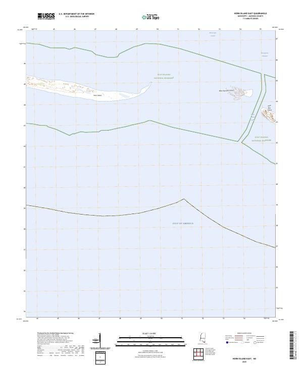
2024 Horn Island East
Jackson County, MS
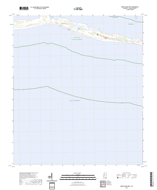
2024 Horn Island West
Jackson County, MS
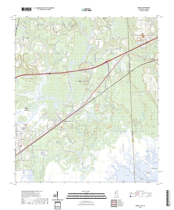
2024 Kreole
Jackson County, MS
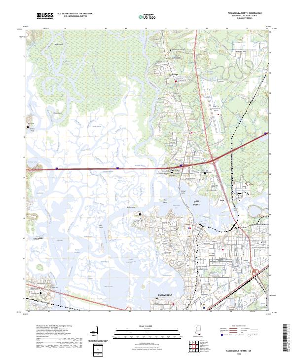
2024 Pascagoula North
Jackson County, MS
2024 Pascagoula South
Jackson County, MS
2024 Petit Bois Island
Jackson County, MS
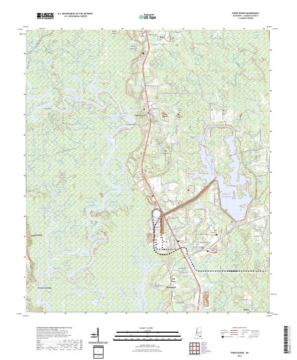
2024 Three Rivers
Jackson County, MS
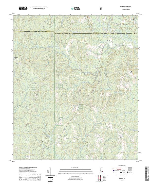
2024 Vestry
Jackson County, MS
2025 Horn Island East
Jackson County, MS
2025 Horn Island West
Jackson County, MS
2025 Petit Bois Island
Jackson County, MS
Featured Locations
- Gautier, MS
- Pascagoula, MS
- East Side, Pascagoula
- South Pascagoula, Pascagoula
- East Pascagoula, Pascagoula